MyTopo
Latham Ohio US Topo Map
Couldn't load pickup availability
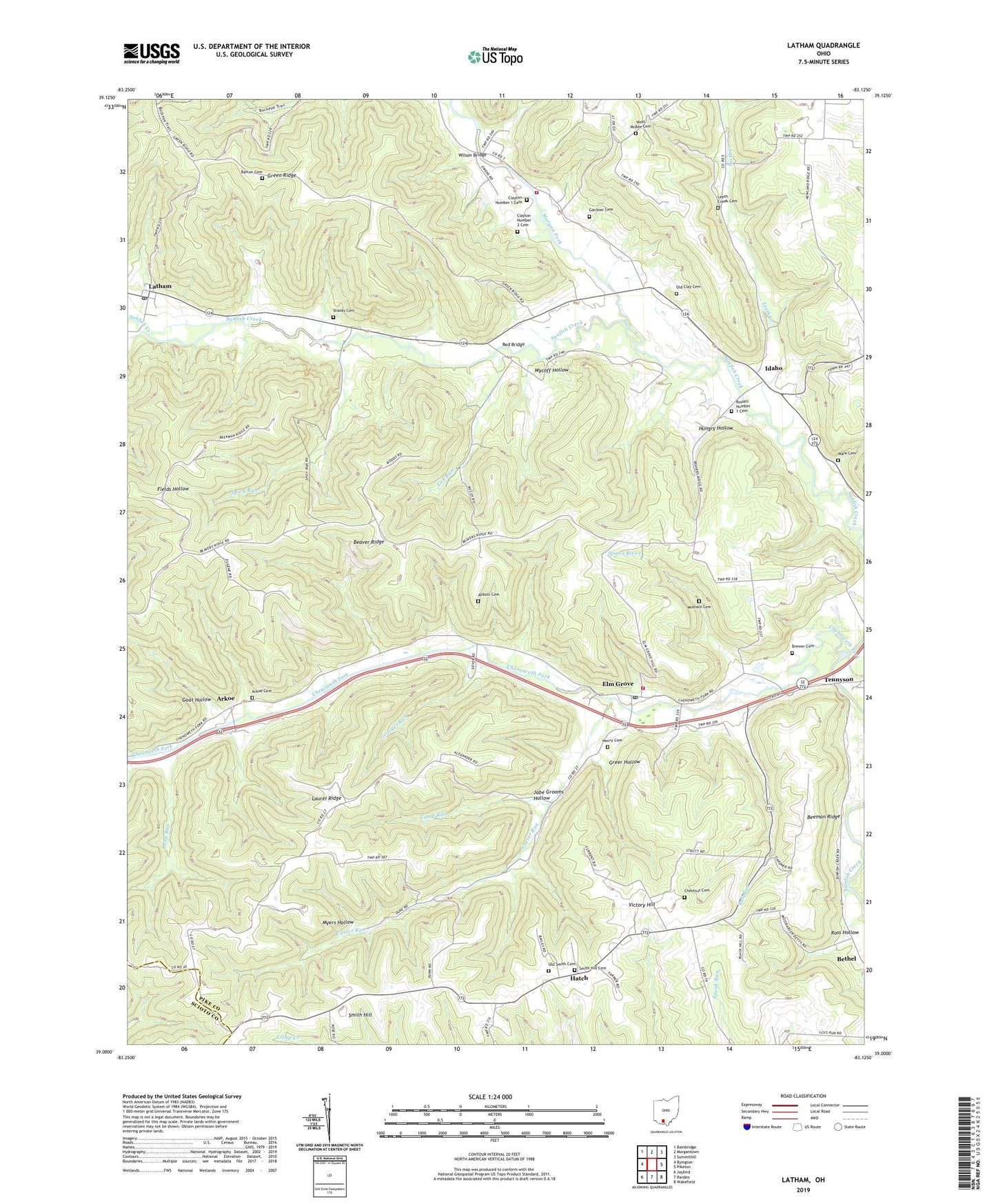
2023 topographic map quadrangle Latham in the state of Ohio. Scale: 1:24000. Based on the newly updated USGS 7.5' US Topo map series, this map is in the following counties: Pike, Scioto. The map contains contour data, water features, and other items you are used to seeing on USGS maps, but also has updated roads and other features. This is the next generation of topographic maps. Printed on high-quality waterproof paper with UV fade-resistant inks.
Quads adjacent to this one:
West: Byington
Northwest: Bainbridge
North: Morgantown
Northeast: Summithill
East: Piketon
Southeast: Wakefield
South: Rarden
Southwest: Jaybird
This map covers the same area as the classic USGS quad with code o39083a2.
Contains the following named places: Abbott Cemetery, Anderson School, Arkoe, Arkoe Cemetery, Arkoe Post Office, Barton Cemetery, Beaver Chapel, Beeman Ridge, Benton Township Volunteer Fire Department, Brewer Cemetery, Brown School, Bull Run, Camp Run, Carter Run, Chenoweth Fork, Chestnut Cemetery, Clayton Number 1 Cemetery, Clayton Number 2 Cemetery, Corner Church, Crawford School, Elm Grove, Elm Grove Post Office, Elm Grove Volunteer Fire Department Squad 5, Gardner Cemetery, Georges Run, Goat Hollow, Grassy Fork, Green Ridge, Green Ridge School, Greer Hollow, Hatch, Hatch Post Office, Henry Cemetery, Hungry Hollow, Idaho, Idaho Post Office, Idaho School, Jabe Grooms Hollow, Latham, Latham Post Office, Laurel Ridge, Laurel Ridge School, Leeth Creek, Leeth Creek Cemetery, Leeth Creek School, Lick Run, Long Run, Morgan Fork, Mustard Cemetery, Myers Hollow, Old Clay Cemetery, Old Smith Cemetery, Parker Elementary School, Pennisten Chapel, Red Bridge, Ross Hollow, Russell Number 1 Cemetery, Shanks Cemetery, Smith Chapel, Smith Hill, Smith Hill Cemetery, Smith Hill Church, Spicy Run, Spoon River, Township of Sunfish, Victory Hill, Victory School, Ware Cemetery, West McBee Cemetery, Western High School, Wilson Bridge, Wycoff Hollow


