MyTopo
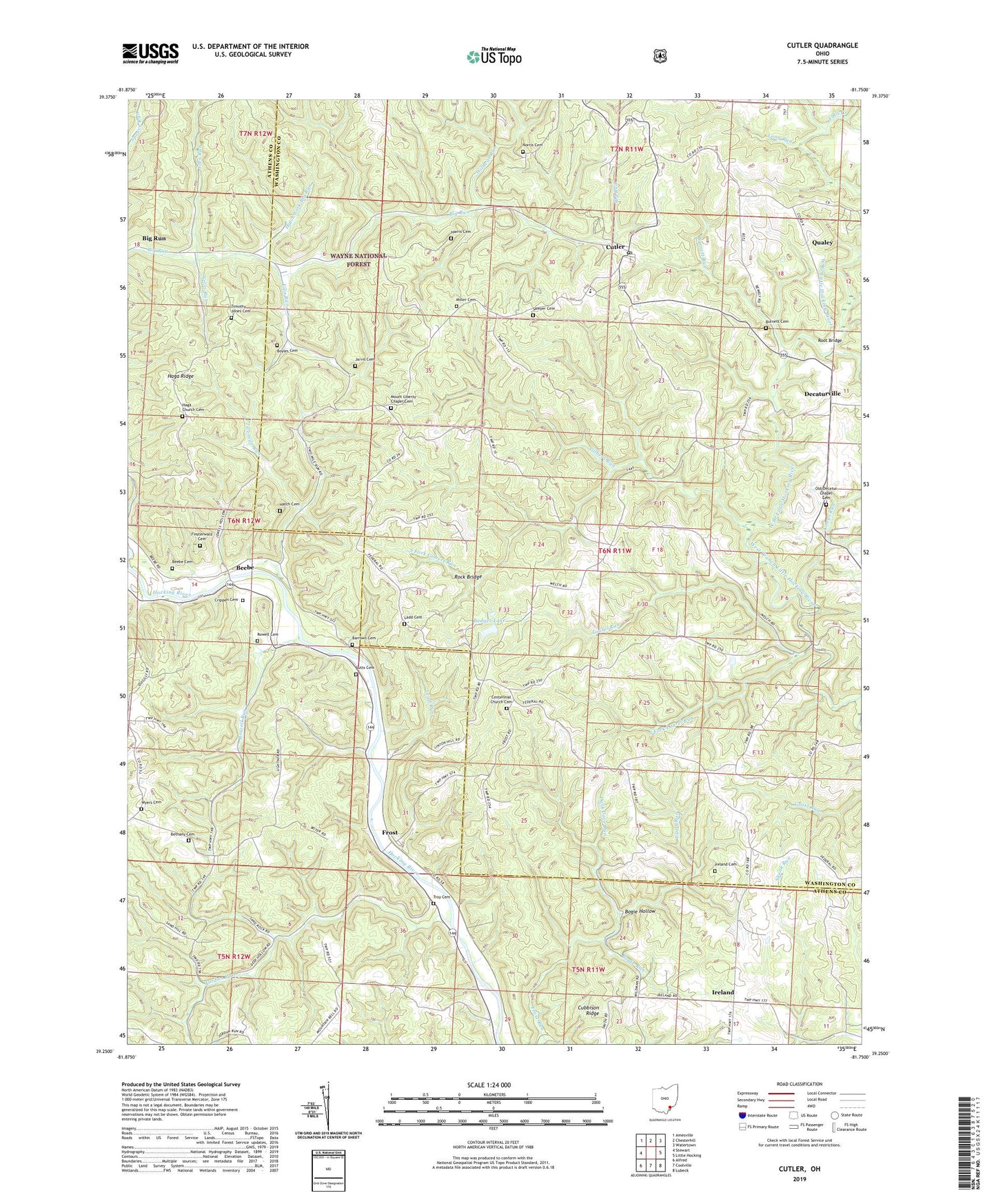
Cutler Ohio US Topo Map
Couldn't load pickup availability
Also explore the Cutler Forest Service Topo of this same quad for updated USFS data
2023 topographic map quadrangle Cutler in the state of Ohio. Scale: 1:24000. Based on the newly updated USGS 7.5' US Topo map series, this map is in the following counties: Washington, Athens. The map contains contour data, water features, and other items you are used to seeing on USGS maps, but also has updated roads and other features. This is the next generation of topographic maps. Printed on high-quality waterproof paper with UV fade-resistant inks.
Quads adjacent to this one:
West: Stewart
Northwest: Amesville
North: Chesterhill
Northeast: Watertown
East: Little Hocking
Southeast: Lubeck
South: Coolville
Southwest: Alfred
This map covers the same area as the classic USGS quad with code o39081c7.
Contains the following named places: Badger Lake, Badger Lake Dam, Barrows Cemetery, Beebe, Beebe Cemetery, Bethany Cemetery, Bethany Church, Big Run, Bogie Hollow, Bogie Run, Boyles Cemetery, Burnett Cemetery, Burnett Run, Butts Cemetery, Centenary Church, Centennial Church, Centennial Church Cemetery, Centerpoint Mission, Crippen Cemetery, Cubbison Ridge, Cutler, Cutler Elementary School, Cutler Post Office, Cutler School, Dark Cave Run, Decatur Chapel, Decaturville, Ellis Run, Falls Creek, Finsterwald Cemetery, Frost, Frost Post Office, Gilbert Run, Haga Church, Haga Church Cemetery, Haga Mission, Haga Ridge, Harris Cemetery, Hatch Cemetery, Hatch Fork Big Run, Ireland, Ireland Cemetery, Jarvis Cemetery, Joes Run, Jordan Run, Ladd Cemetery, Laurel Run, Lead Run, Long Run, Longs Run, Miller Cemetery, Mount Liberty Chapel Cemetery, Mount Liberty Church, Nellis Run, Norris Cemetery, Old Decatur Chapel Cemetery, Qualey, Rock Bridge, Root Bridge, Rowell Cemetery, Rowell Run, Sawyer Cemetery, South Fork Gilbert Run, South Fork Laurel Run, Timothy Jones Cemetery, Township of Decatur, Troy Cemetery, Troy Church, Twomile Run, Wildcat Run, Wyers Cemetery