MyTopo
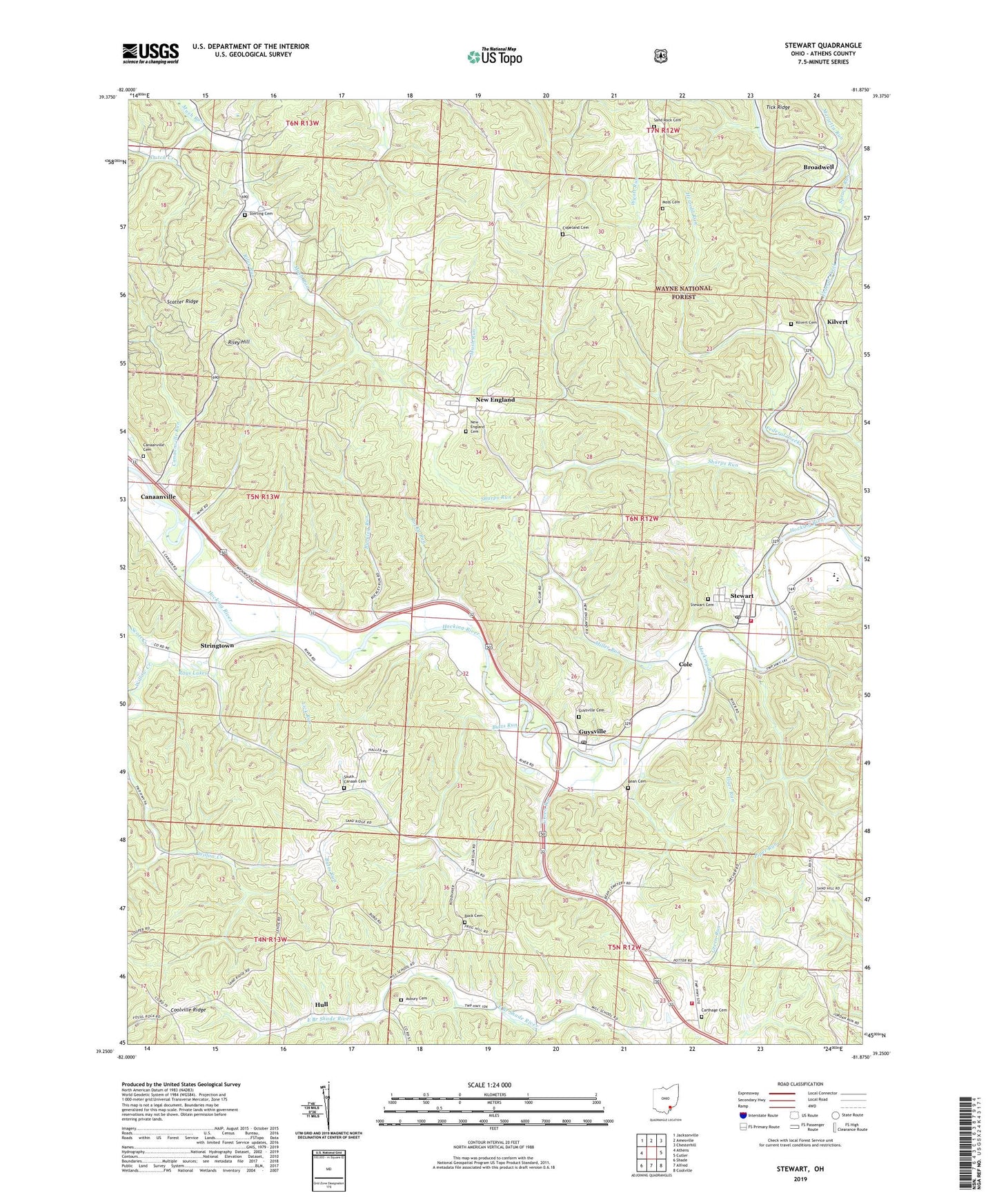
Stewart Ohio US Topo Map
Couldn't load pickup availability
Also explore the Stewart Forest Service Topo of this same quad for updated USFS data
2023 topographic map quadrangle Stewart in the state of Ohio. Scale: 1:24000. Based on the newly updated USGS 7.5' US Topo map series, this map is in the following counties: Athens. The map contains contour data, water features, and other items you are used to seeing on USGS maps, but also has updated roads and other features. This is the next generation of topographic maps. Printed on high-quality waterproof paper with UV fade-resistant inks.
Quads adjacent to this one:
West: Athens
Northwest: Jacksonville
North: Amesville
Northeast: Chesterhill
East: Cutler
Southeast: Coolville
South: Alfred
Southwest: Shade
This map covers the same area as the classic USGS quad with code o39081c8.
Contains the following named places: Asbury Cemetery, Ashbury Church, Bean Cemetery, Big Run, Broadwell, Broadwell Post Office, Buck Cemetery, Buckley Run, Butts Run, Canaanville, Canaanville Cemetery, Canaanville Run, Carthage Cemetery, Carthage Church, Cole, Coolville Volunteer Fire Department Station 2, Copeland Cemetery, Dutch Creek, East Canaan Church, Federal Creek, Federal Hocking Middle School, Green Run, Guysville, Guysville Cemetery, Guysville Post Office, Herrold Run, Hull, Hull Post Office, Kilvert, Kilvert Cemetery, Kilvert Post Office, Lick Run, Marietta Run, Miller Run, Mills School, Moss Cemetery, New England, New England Cemetery, New England Post Office, Piper Run, Rays Lakes, Riley Hill, Riley Run, Rocky Run, Rome Township Volunteer Fire Department, Rome-Canaan High School, Sand Rock, Sand Rock Cemetery, Scott Creek, Sharps Run, South Canaan Cemetery, South Canaan Church, Spruce Run, Sterling Cemetery, Stewart, Stewart Cemetery, Stewart Census Designated Place, Stewart Post Office, Stringtown, Tiger Run, Township of Rome, Willow Creek, Wilson Chapel, ZIP Codes: 45735, 45778


