MyTopo
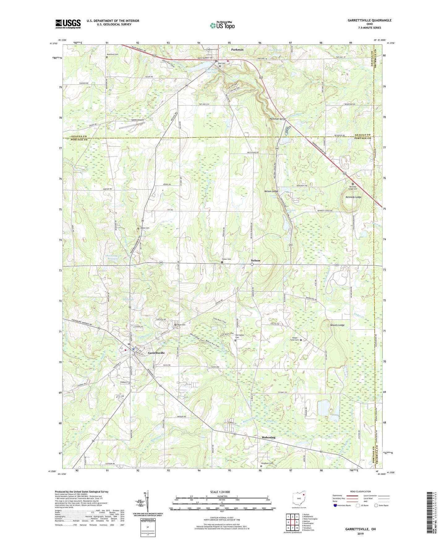
Garrettsville Ohio US Topo Map
Couldn't load pickup availability
2023 topographic map quadrangle Garrettsville in the state of Ohio. Scale: 1:24000. Based on the newly updated USGS 7.5' US Topo map series, this map is in the following counties: Portage, Geauga, Trumbull. The map contains contour data, water features, and other items you are used to seeing on USGS maps, but also has updated roads and other features. This is the next generation of topographic maps. Printed on high-quality waterproof paper with UV fade-resistant inks.
Quads adjacent to this one:
West: Mantua
Northwest: Burton
North: Middlefield
Northeast: West Farmington
East: Southington
Southeast: Newton Falls
South: Windham
Southwest: Ravenna
This map covers the same area as the classic USGS quad with code o41081c1.
Contains the following named places: Abbot Cemetery, Asspiration Farms, Beaver Run Trail, Beech Ridge Trail, Camp Creek, Camp Goodaire, Cascade Falls, Clubmoss Trail, Community Emergency Medical Service District, D J Farms, Dozen Acre Farm, Eagle Creek State Nature Preserve, Garfield Elementary School, Garfield High School, Garfield Middle School, Garrettsville, Garrettsville - Freedom - Nelson Joint Fire Department, Garrettsville Police Department, Garrettsville Post Office, Gates Airport, Harrington Cemetery, Homestead Manor, Jair Farm, Keiper - Tuller Cemetery, Kennedy Ledge, Kennedy Ledge Cemetery, Lady of Fatima Church, Lamms Farms, Mahoning, Mahoning Creek, Mahoning Post Office, Meadowlake Farm, Minnehaha Falls, Moss Beach Club Lake, Mumford Cemetery, Nelson, Nelson Christmas Tree Farm, Nelson Ditch, Nelson Ledge, Nelson Post Office, Nelson United Methodist Church, Nelson-Kennedy Ledges State Park, Newels Ledge, Ohnoname 28 Dam, Ohnoname 28 Reservoir, Old Cemetery, Owen Pond, Owen Pond Dam, P And M Estates, Park Cemetery, Parkman, Parkman Census Designated Place, Parkman Elementary School, Parkman Fire Department and Emergency Medical Services Department, Parkman Gorge, Parkman Industrial Park, Parkman Post Office, Phalanx Quarry, Pine Lake, Pioneer Church, Saint Ambrose Church, Sedensky Farm, Shamrock Hills Farm, Shangri-La Ski Club Dam, Silver Creek, Song Bird Farm, South Fork Eagle Creek, South Phalanx Quarry, Sugarbush Golf Course, Taft Dairy Farm, Tinker Cemetery, Township of Nelson, Troy Baptist Church, United Church of Garrettsville, Village of Garrettsville, White Pine Stables, Whitehaven Farm, Windham Cemetery, Windswept Farm, ZIP Codes: 44080, 44231


