MyTopo
Jacksonville Ohio US Topo Map
Couldn't load pickup availability
Also explore the Jacksonville Forest Service Topo of this same quad for updated USFS data
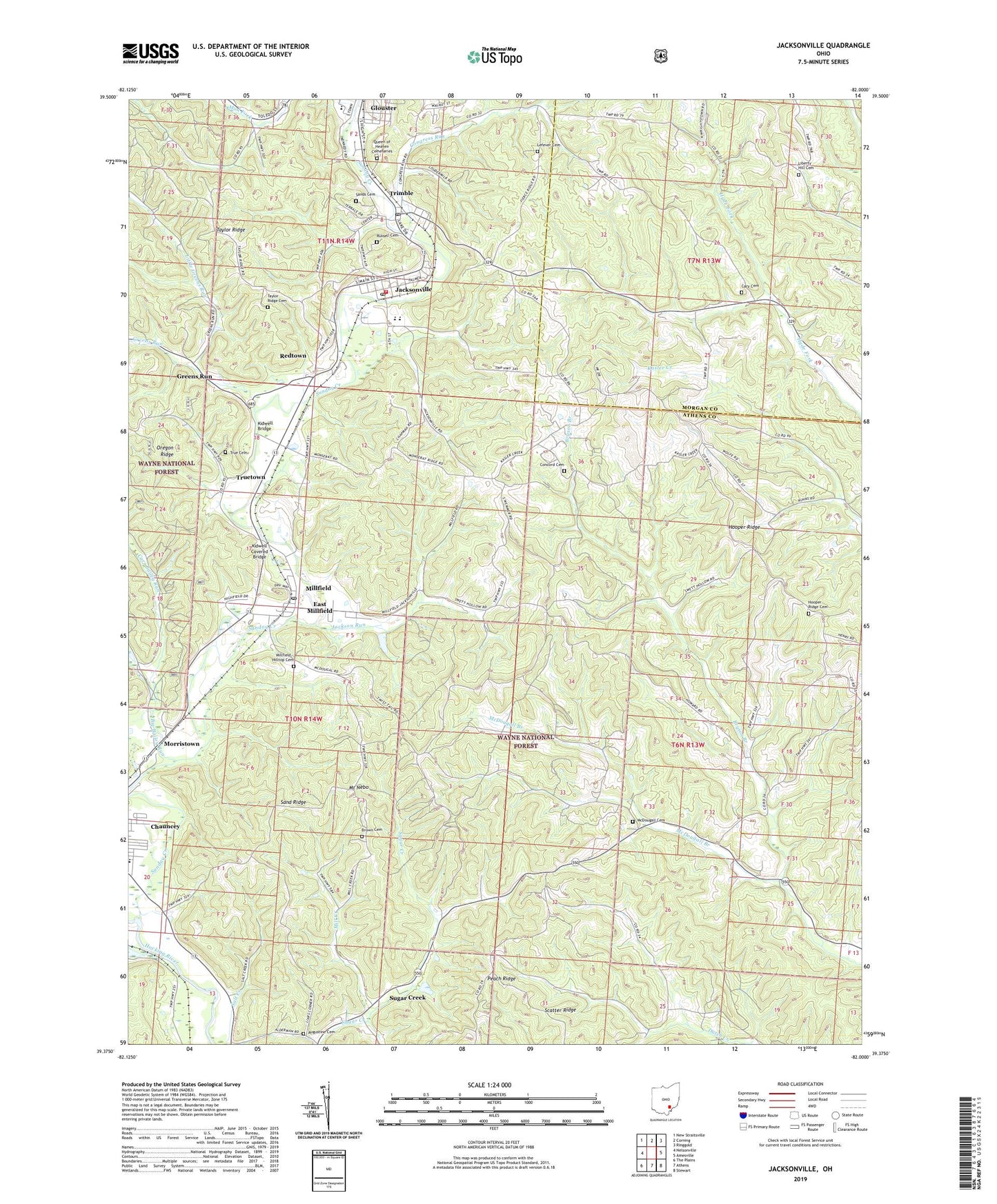
2023 topographic map quadrangle Jacksonville in the state of Ohio. Scale: 1:24000. Based on the newly updated USGS 7.5' US Topo map series, this map is in the following counties: Athens, Morgan. The map contains contour data, water features, and other items you are used to seeing on USGS maps, but also has updated roads and other features. This is the next generation of topographic maps. Printed on high-quality waterproof paper with UV fade-resistant inks.
Quads adjacent to this one:
West: Nelsonville
Northwest: New Straitsville
North: Corning
Northeast: Ringgold
East: Amesville
Southeast: Stewart
South: Athens
Southwest: The Plains
This map covers the same area as the classic USGS quad with code o39082d1.
Contains the following named places: Athens City Schools Early Learning Center, Augustine Cemetery, Big Bailey Run, Brown Cemetery, Bryson Branch, Carr Bailey Run, Cary Cemetery, Concord Cemetery, Concord Church, Congress Run, Derthick, East Millfield, Ferndale Methodist Church, Greens Run, Hooper Ridge, Hooper Ridge Cemetery, Hooper Ridge Church, Jackson Run, Jacksonville, Jacksonville Fire and Rescue, Jacksonville Post Office, Kidwell Bridge, Kidwell Covered Bridge, Lefever Cemetery, Lewis, Lewis Post Office, Liars Corner, Liberty Hill Cemetery, Liberty Hill Methodist Church, Linscott, Little Greens Run, McDougall Cemetery, McDougall Church, Mill Creek, Millfield, Millfield - Hilltop Cemetery, Millfield Census Designated Place, Millfield Post Office, Morristown, Mount Nebo, Number Ten Mission, Olbers, Olbers Post Office, Poston, Poston Church, Poston Post Office, Queen of Heaven Cemetery, Redtown, Russell Cemetery, Salt Creek, Sand Ridge, Sands Cemetery, Sugar Creek, Sunday Creek, Taylor Ridge Cemetery, Taylor Ridge Church, Township of Ames, Township of Dover, Trimble, Trimble High School, Trimble Post Office, Trimble Township High School, True Cemetery, Truetown, Village of Jacksonville, Village of Trimble, ZIP Codes: 45740, 45761, 45782


