MyTopo
Kingston Ohio US Topo Map
Couldn't load pickup availability
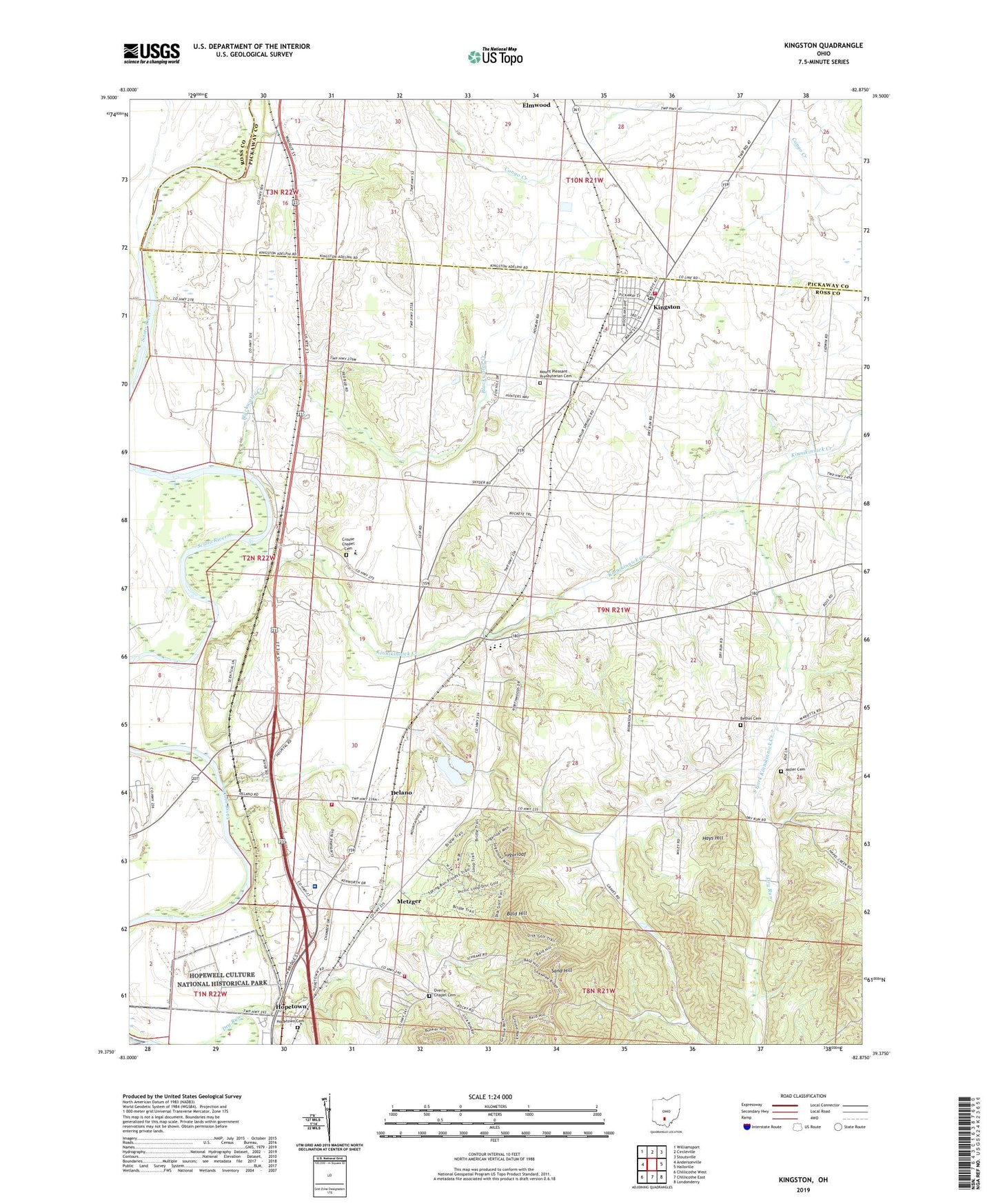
2019 topographic map quadrangle Kingston in the state of Ohio. Scale: 1:24000. Based on the newly updated USGS 7.5' US Topo map series, this map is in the following counties: Ross, Pickaway. The map contains contour data, water features, and other items you are used to seeing on USGS maps, but also has updated roads and other features. This is the next generation of topographic maps. Printed on high-quality waterproof paper with UV fade-resistant inks.
Quads adjacent to this one:
West: Andersonville
Northwest: Williamsport
North: Circleville
Northeast: Stoutsville
East: Hallsville
Southeast: Londonderry
South: Chillicothe East
Southwest: Chillicothe West
Contains the following named places: Adena Regional Medical Center, Bald Hill, Bethel Cemetery, Bethel Chapel, Blackwater Creek, Bunker Hill, Camp Davella, Centralia School, Courtright, Crouse Chapel, Crouse Chapel Cemetery, Delano, Green Township Fire Department, Green Township Fire Department Station 2, Hays Hill, Hopetown, Hopetown Cemetery, Hopetown Post Office, Kingston, Kingston Church, Kingston Post Office, Kinnikinnick, Kinnikinnick Creek, Kinnikinnick Post Office, Medical Center Hospital Heliport, Metzger, Miller Cemetery, Mount Pleasant Presbyterian Cemetery, Ohio State Highway Patrol - Chillicothe Patrol Post, Overly Chapel, Overly Chapel Cemetery, Sabre Farms, Sand Hill, South Fork Kinnikinnick Creek, Springfield Township Volunteer Fire Department Station 3, Sugarloaf, Township of Green, Village of Kingston, Wesley Chapel, WFCB-FM (Chillicothe), Zane Trace Middle School