MyTopo
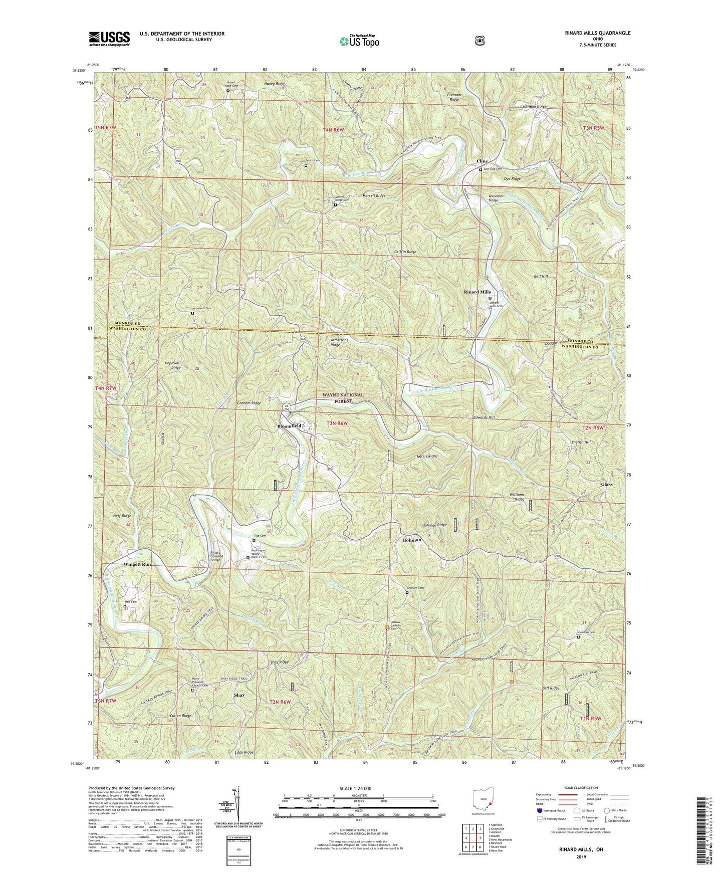
Rinard Mills Ohio US Topo Map
Couldn't load pickup availability
Also explore the Rinard Mills Forest Service Topo of this same quad for updated USFS data
2023 topographic map quadrangle Rinard Mills in the state of Ohio. Scale: 1:24000. Based on the newly updated USGS 7.5' US Topo map series, this map is in the following counties: Washington, Monroe. The map contains contour data, water features, and other items you are used to seeing on USGS maps, but also has updated roads and other features. This is the next generation of topographic maps. Printed on high-quality waterproof paper with UV fade-resistant inks.
Quads adjacent to this one:
West: Dalzell
Northwest: Stafford
North: Graysville
Northeast: Antioch
East: New Matamoras
Southeast: Bens Run
South: Raven Rock
Southwest: Belmont
This map covers the same area as the classic USGS quad with code o39081e2.
Contains the following named places: Armstrong Ridge, Bell Hill, Bloomfield, Boston Run, Carter, Clear Fork Little Muskingum River, Cline, Cline Post Office, Cross Keys, Crosskeys Post Office, Cullen Ridge, Dodd Hill, Dye Ridge, Edwards Hill, English Hill, German Cemetery, Glass, Graham Cemetery, Graham Ridge, Griffin Ridge, Hall Cemetery, Haney Ridge, Harris Ridge, Haught Run, Hohman, Hohman Ridge, Hopewell Cemetery, Hopewell Church, Hopewell Ridge, Irish Run, Jackson Run, Knowlton Bridge, Low Gap Cemetery, Low Gap Church, Ludlow Catholic Cemetery, Ludlow Elementary School, Ludlow High School, Merrell Ridge, Merrell Ridge Cemetery, Merrell Ridge Church, Mount Hope Cemetery, Mount Hope Church, Mount Vernon Church, Muskingum, Muskingum Valley Baptist Cemetery, Muskingum Valley Church, Neff Ridge, Oakes Landing, Oldcamp Run, Point Pleasant Church, Point Pleasant Church Cemetery, Quarry, Quarry Post Office, Rinard Covered Bridge, Rinard Mills, Rinard Mills Cemetery, Sacket Run, Shay, Shay Ridge, Smith Cemetery, Straight Fork, Tice Cemetery, Tice Run, Township of Ludlow, Ward, Wayne National Forest - Athens Ranger District - Marietta Unit, Williams Ridge, Wilson Run, Wingett Run, Witten Run, ZIP Code: 45767


