MyTopo
Sherritts Ohio US Topo Map
Couldn't load pickup availability
Also explore the Sherritts Forest Service Topo of this same quad for updated USFS data
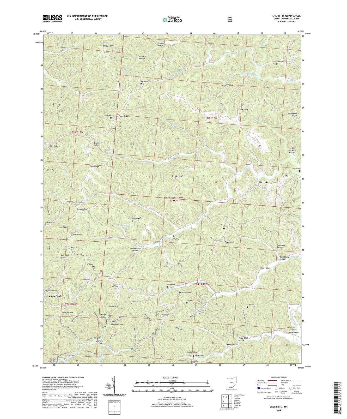
2023 topographic map quadrangle Sherritts in the state of Ohio. Scale: 1:24000. Based on the newly updated USGS 7.5' US Topo map series, this map is in the following counties: Lawrence. The map contains contour data, water features, and other items you are used to seeing on USGS maps, but also has updated roads and other features. This is the next generation of topographic maps. Printed on high-quality waterproof paper with UV fade-resistant inks.
Quads adjacent to this one:
West: Pedro
Northwest: South Webster
North: Gallia
Northeast: Patriot
East: Waterloo
Southeast: Aid
South: Kitts Hill
Southwest: Ironton
This map covers the same area as the classic USGS quad with code o38082f5.
Contains the following named places: Aldridge Cemetery, Aldridge Hollow, Arbaugh Hollow, Asbury Creek, Bakers Fork Buffalo Creek, Barnett Cemetery, Beech Fork Buffalo Creek, Boggs Cemetery, Bowen Cemetery, Brushy Buckeye Creek, Buckeye Creek, Buffalo Cemetery, Cade Hollow, Caulley Creek, Cedar Cliff Hollow, Clarkson Hollow, Cooper Cemetery, Dean Hollow, Dennin Cemetery, Elkins Creek, Forest Ridge, George McClure Pond Dam, Gum Stump Hollow, Handley Branch, Hungry Hollow, Izaak Walton Lake, Izaak Walton Lake Dam, Jennick Cemetery, Joe Delawder Cemetery, John Neal Cemetery, Johns Creek, Johns Creek Post Office, Kanady Hollow, Kimble Lookout Tower, Lambert Hollow, Leet Ridge, Littles Cemetery, Macedonia Cemetery, Macedonia Church, McClure Lake, Nelson Bridge, Nelson Cemetery, Paddle Creek, Palestine Church, Perry Cemetery, Peters Run, Phillips Knob, Rehobeth Church, Robinson Cemetery, Rucker Cemetery, Sam Miller Hollow, Schweickart Hollow, Sherritts, Sherritts Post Office, Slab Fork Church, Slab Fork Church Cemetery, Slab Fork Johns Creek, Stewart - Werner Cemetery, Stewart Knob, Thompson Cemetery, Tick Ridge, Tipton Knob, Townsend Hollow, Township of Aid, Township of Symmes, Walters Cemetery, Waugh Hollow, Wayne National Forest, White Hollow, Wiseman Cemetery, Woltz Hollow, Yates Cemetery, Zoar Church, Zoar Ridge, ZIP Code: 45688


