MyTopo
Waldo Ohio US Topo Map
Couldn't load pickup availability
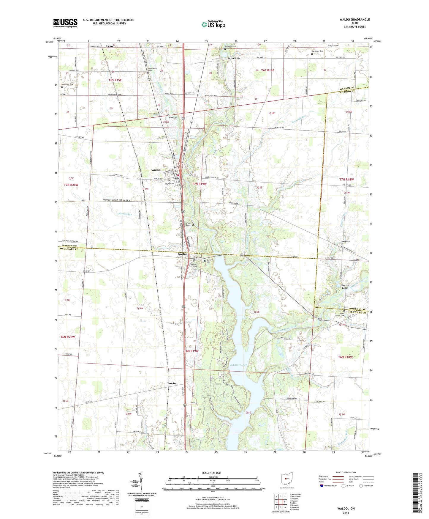
2023 topographic map quadrangle Waldo in the state of Ohio. Scale: 1:24000. Based on the newly updated USGS 7.5' US Topo map series, this map is in the following counties: Delaware, Marion, Morrow. The map contains contour data, water features, and other items you are used to seeing on USGS maps, but also has updated roads and other features. This is the next generation of topographic maps. Printed on high-quality waterproof paper with UV fade-resistant inks.
Quads adjacent to this one:
West: Prospect
Northwest: Marion West
North: Marion East
Northeast: Denmark
East: Ashley
Southeast: Kilbourne
South: Delaware
Southwest: Ostrander
This map covers the same area as the classic USGS quad with code o40083d1.
Contains the following named places: Augenstein Cemetery, Bartlett Corners, Berringer Cemetery, Brondige Run, Cherry Ridge School, Claypool Bridge, Claypool Run, Delaware Reservoir Wildlife Area, Drake Cemetery, Flying Acres Airport, Fort Morrow Fire District, Hoke Bridge, Indian Run, Inskeep Corners, Jacoby Bridge, Longs Corners, Lynn, Marlboro Church, Mayfield Cemetery, Mayfield Corners, Norton, Norton Cemetery, Norton Run, Peak Cemetery, Qu Qua Creek, Riverside Cemetery, Saint James Church, Schorr School, Smith Corners, Soltis Field, The Groves At Newmans Crossing, Township of Marlboro, Township of Waldo, Troyton, Troyton Post Office, Village of Waldo, Waldo, Waldo Cemetery, Waldo Elementary School, Waldo Post Office, West Oxford Cemetery, Whetstone Creek, White School, Windsor Corners, Wolfinger Cemetery, Wyatt Cemetery, ZIP Code: 43356


