MyTopo
Westfield Center Ohio US Topo Map
Couldn't load pickup availability
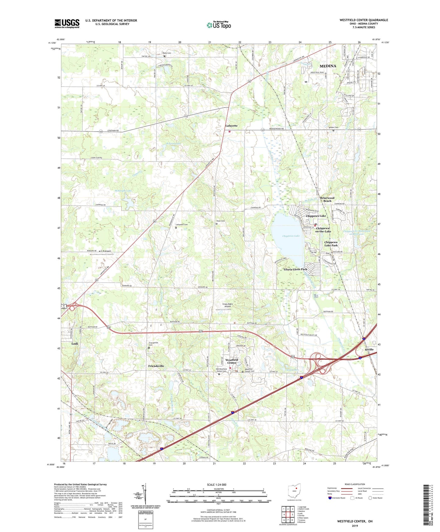
2023 topographic map quadrangle Westfield Center in the state of Ohio. Scale: 1:24000. Based on the newly updated USGS 7.5' US Topo map series, this map is in the following counties: Medina. The map contains contour data, water features, and other items you are used to seeing on USGS maps, but also has updated roads and other features. This is the next generation of topographic maps. Printed on high-quality waterproof paper with UV fade-resistant inks.
Quads adjacent to this one:
West: Lodi
Northwest: Lagrange
North: Mallet Creek
Northeast: Medina
East: Seville
Southeast: Rittman
South: Creston
Southwest: West Salem
This map covers the same area as the classic USGS quad with code o41081a8.
Contains the following named places: Baker Pit, Bethany Church, Boy Scout Camp, Briarwood Beach, Brookdale Mobile Home Park, Buck Creek, Buckeye Woods County Park, Chippewa Creek Watershed 2A Reservoir, Chippewa Lake, Chippewa Lake Park, Chippewa Lake Post Office, Chippewa-on-the-Lake, Cloverleaf High School, Cloverleaf Middle School, Crazy Bob's Airport, Double R Farm, Friendsville, Friendsville Cemetery, Friendsville Post Office, Gloria Glens Park, J And M Trailer Court, Lafayette, Lafayette Cemetery, Lafayette Elementary School, Lafayette Township Fire Department - Station 1, Lafayette Township Fire Department - Station 2, M C R Airport, McCabe Creek, McKnight Lake, McKnight Lake Dam, Medina Carrier Annex Post Office, Medina County, Medina County Home, Old Westfield Center Cemetery, R Farm Lake, Shaw Cemetery, Spitzer Cemetery, The Inlet, Township of Lafayette, Township of Westfield, Universalist Church of Westfield Center, Village of Chippewa Lake, Village of Gloria Glens Park, Village of Westfield Center, Waltz Cemetery, Waltz Church, Westfield Airport, Westfield Center, Westfield Center Cemetery, Westfield Center Post Office, Westfield Elementary School, Westfield Fire Department, Wolf Lakes, Wolf Lakes Dam, ZIP Codes: 44215, 44251, 44273


