MyTopo
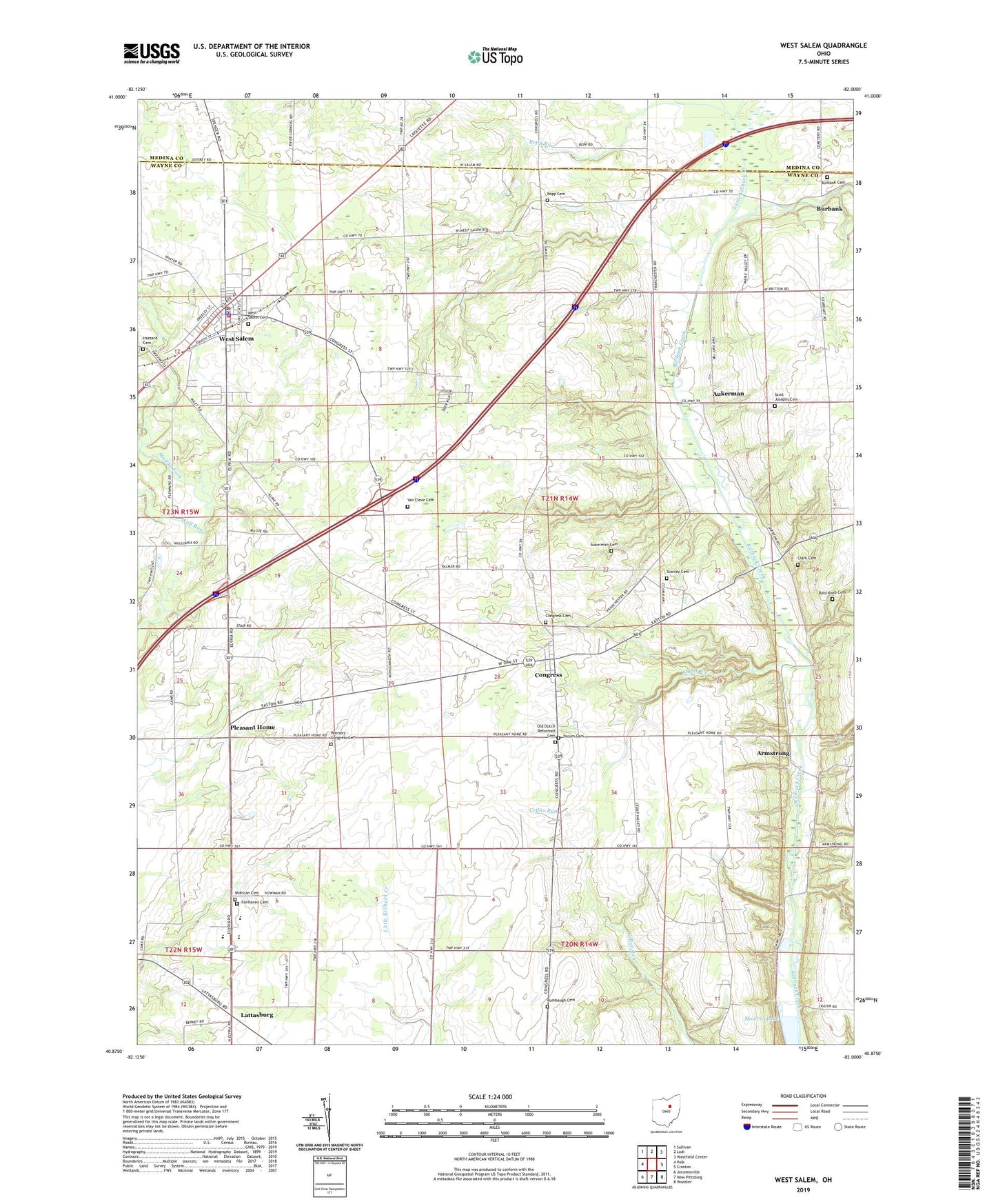
West Salem Ohio US Topo Map
Couldn't load pickup availability
2023 topographic map quadrangle West Salem in the state of Ohio. Scale: 1:24000. Based on the newly updated USGS 7.5' US Topo map series, this map is in the following counties: Wayne, Medina. The map contains contour data, water features, and other items you are used to seeing on USGS maps, but also has updated roads and other features. This is the next generation of topographic maps. Printed on high-quality waterproof paper with UV fade-resistant inks.
Quads adjacent to this one:
West: Polk
Northwest: Sullivan
North: Lodi
Northeast: Westfield Center
East: Creston
Southeast: Wooster
South: New Pittsburg
Southwest: Jeromesville
This map covers the same area as the classic USGS quad with code o40082h1.
Contains the following named places: Armstrong, Aukerman, Aukerman Cemetery, Aukerman Church, Badger Farms, Bald Knob Cemetery, Boreman Lake, Boreman Lake Dam, Burbank Cemetery, Burbank Station, Camp Pee Wee, Clark Cemetery, Congress, Congress Cemetery, Congress Community Church, Congress Elementary School, Fairhaven Cemetery, Fairhaven Church, Foltz Farms, Haley Farms, Hazzard Cemetery, Heritage Poultry Farm, Lattasburg, Lea Crest Estates Mobile Home Park, Lin - Dar Farms, Little Killbuck Creek, Macdonald Farm, Milelong Farm, Miley Holsteins Farms, Mohican Cemetery, Mohican Church of the Brethren, Morlock Farms, Mowrer Lake, Old Dutch Reformed Cemetery, Peacock Farms, Pleasant Home, Pleasant Home Gliding Club Gliderport, Repp Cemetery, Repp Run, Rumbaugh Cemetery, Saint Josephs Cemetery, School Number 16, Shade Creek, Shade Creek Farms, Stanley Cemetery, Tegtmeier Farm, Town and Country Fire District, Township of Congress, Tri County Animal Clinic, Twin Parks Farm, Van Cleve Cemetery, Village of Congress, Village of West Salem, Warners - Congress Cemetery, Wellert Farm, West Salem, West Salem Cemetery, West Salem Elementary School, West Salem Mills, West Salem Post Office, West Salem Village Police Department, Wolf Run, Yocum Cemetery, ZIP Code: 44287


