MyTopo
Caddo NW Oklahoma US Topo Map
Couldn't load pickup availability
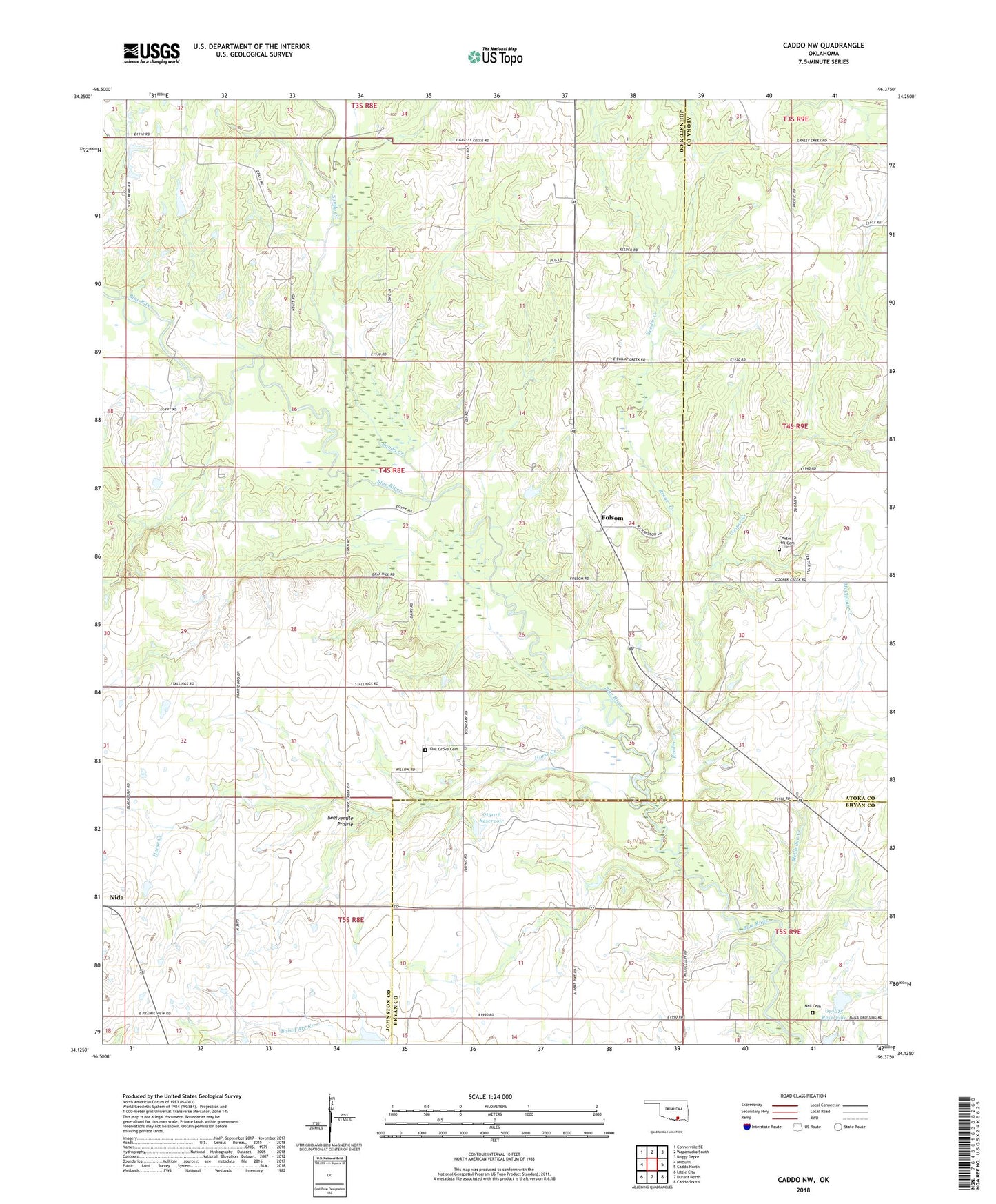
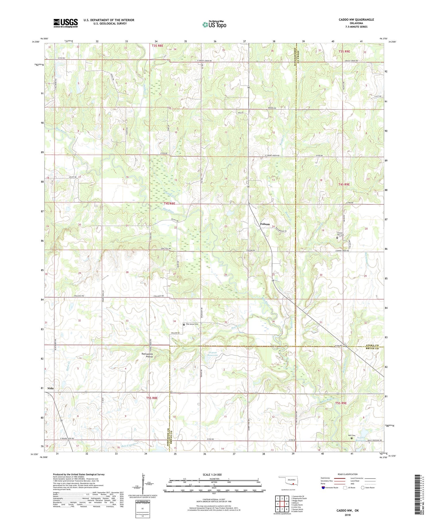
2018 topographic map quadrangle Caddo NW in the state of Oklahoma. Scale: 1:24000. Based on the newly updated USGS 7.5' US Topo map series, this map is in the following counties: Johnston, Atoka, Bryan. The map contains contour data, water features, and other items you are used to seeing on USGS maps, but also has updated roads and other features. This is the next generation of topographic maps. Printed on high-quality waterproof paper with UV fade-resistant inks.
Quads adjacent to this one:
West: Milburn
Northwest: Connerville SE
North: Wapanucka South
Northeast: Boggy Depot
East: Caddo North
Southeast: Caddo South
South: Durant North
Southwest: Little City
Contains the following named places: Center Hill Cemetery, Center Hill Church, Cooper Creek, Folsom, Horse Creek, KLBC-FM (Durant), Martin Lake, Martin Lake Dam, McClellan Creek, Nail Cemetery, Nida, Oak Grove Cemetery, Oknoname 013015 Dam, Oknoname 013015 Reservoir, Oknoname 013016 Dam, Oknoname 013016 Reservoir, Reeder Creek, Sandy Creek, Twelvemile Prairie, ZIP Codes: 73432, 74748