MyTopo
Caddo South Oklahoma US Topo Map
Couldn't load pickup availability
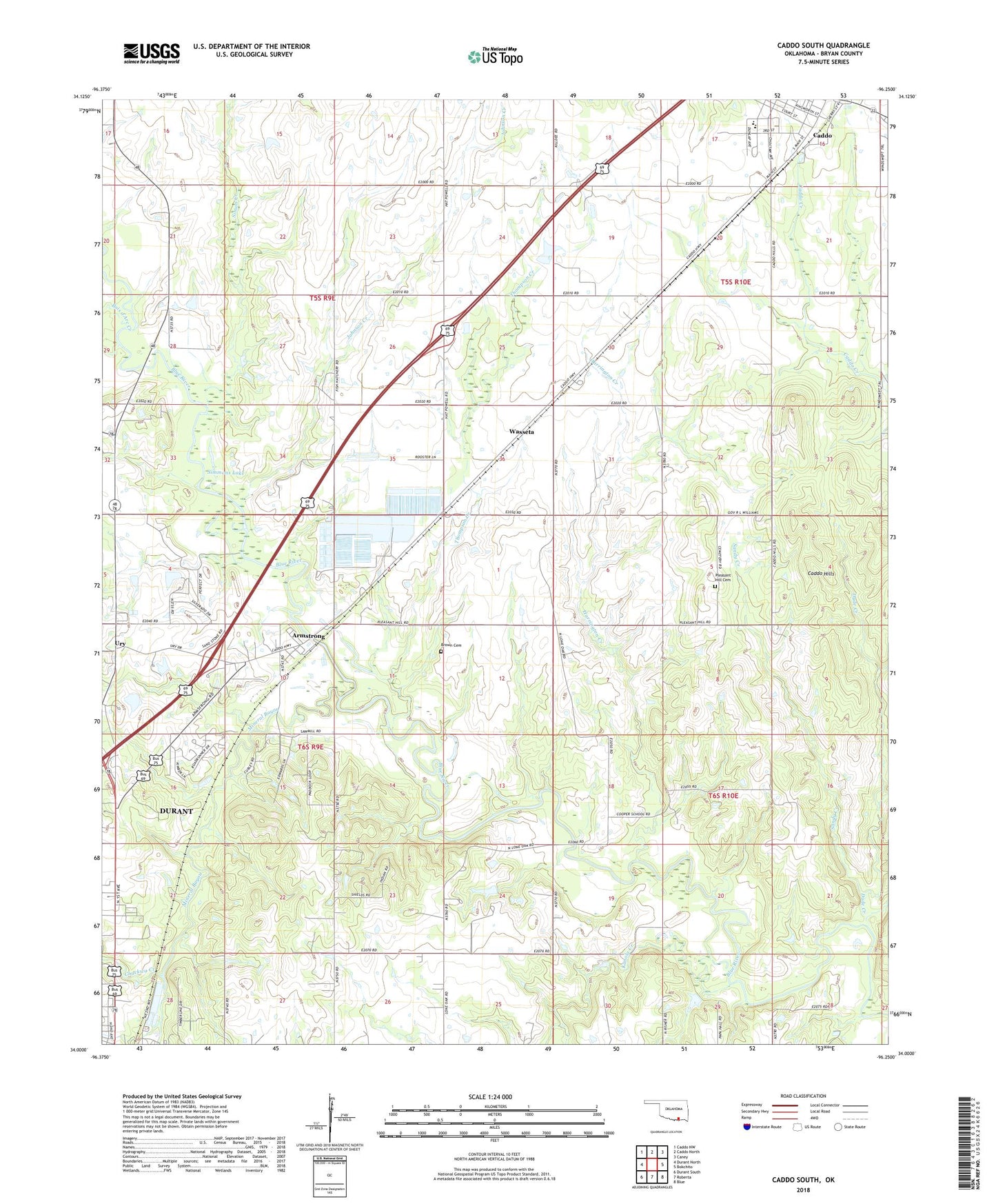
2022 topographic map quadrangle Caddo South in the state of Oklahoma. Scale: 1:24000. Based on the newly updated USGS 7.5' US Topo map series, this map is in the following counties: Bryan. The map contains contour data, water features, and other items you are used to seeing on USGS maps, but also has updated roads and other features. This is the next generation of topographic maps. Printed on high-quality waterproof paper with UV fade-resistant inks.
Quads adjacent to this one:
West: Durant North
Northwest: Caddo NW
North: Caddo North
Northeast: Caney
East: Bokchito
Southeast: Blue
South: Roberta
Southwest: Durant South
This map covers the same area as the classic USGS quad with code o34096a3.
Contains the following named places: Armstrong, Baptist Student Center, Blue River Dam, Bois d'Arc Creek, Brown Cemetery, Caddo Elementary School, Caddo High School, Caddo Hills, Chuckwa Creek, Church of Christ, Dude Creek, Durant Waterworks, First Church of the Nazarene, Fort McCullock, Harrington Creek, Johnson Creek, Kanola Creek, Little Blue River, Mineral Bayou, North Side Church, Pleasant Hill Cemetery, Sandy Creek, Simmons Lake, Simon Creek, The Church of Jesus Christ of Latter Day Saints, Thompson Creek, Tomahawk Airport, Town of Armstrong, Township of Caddo, Ury, Wasseta