MyTopo
Collinsville NE Oklahoma US Topo Map
Couldn't load pickup availability
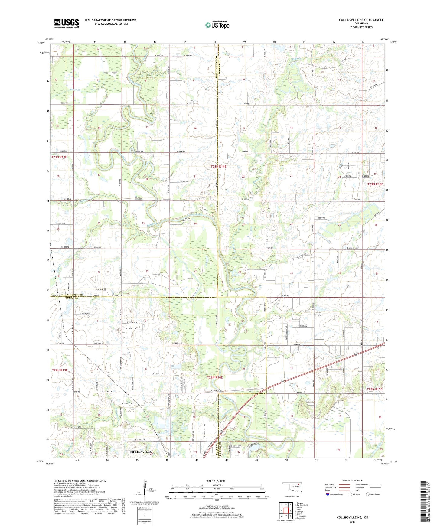
2022 topographic map quadrangle Collinsville NE in the state of Oklahoma. Scale: 1:24000. Based on the newly updated USGS 7.5' US Topo map series, this map is in the following counties: Rogers, Washington, Tulsa. The map contains contour data, water features, and other items you are used to seeing on USGS maps, but also has updated roads and other features. This is the next generation of topographic maps. Printed on high-quality waterproof paper with UV fade-resistant inks.
Quads adjacent to this one:
West: Vera
Northwest: Ramona
North: Bartlesville SE
Northeast: Talala
East: Oologah
Southeast: Sageeyah
South: Collinsville
Southwest: Sperry
This map covers the same area as the classic USGS quad with code o36095d7.
Contains the following named places: Bevan Creek, Blackjack Creek, Buck Creek, Cherry Creek, Collinsville Lake, Collinsville Lake Dam, East Creek, Green Lake, Horsepen Creek, Lacy Creek, Rabb Creek, Rabb Creek Church, Saunders Creek, Township of Collinsville, Zion Hill Church, ZIP Code: 74021