MyTopo
Council Hill Oklahoma US Topo Map
Couldn't load pickup availability
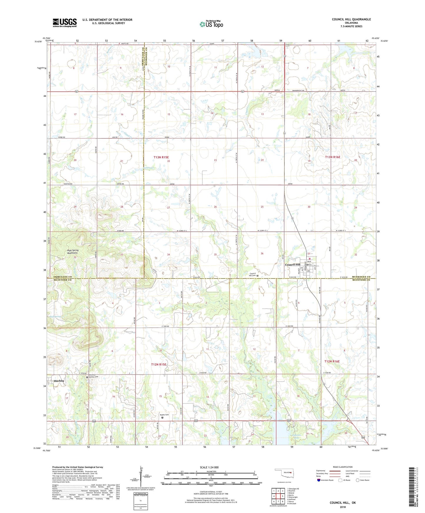
2018 topographic map quadrangle Council Hill in the state of Oklahoma. Scale: 1:24000. Based on the newly updated USGS 7.5' US Topo map series, this map is in the following counties: McIntosh, Muskogee, Okmulgee. The map contains contour data, water features, and other items you are used to seeing on USGS maps, but also has updated roads and other features. This is the next generation of topographic maps. Printed on high-quality waterproof paper with UV fade-resistant inks.
Quads adjacent to this one:
West: Morris
Northwest: Okmulgee NE
North: Boynton
Northeast: Beland
East: Wainwright
Southeast: Checotah
South: Pierce
Southwest: Hoffman
Contains the following named places: Council Hill, Council Hill Cemetery, Council Hill Post Office, Council Hill Volunteer Fire Department, Elm Grove Church, Gentry Creek Public Use Area, High Spring, Hitchita-Lackey Cemetery, Lone Tree Church, Meadowlark Field, Midway High School, New Hope Church, Putty Creek, Ridley Cemetery, Town of Council Hill, ZIP Codes: 74422, 74428