MyTopo
Ringwood SW Oklahoma US Topo Map
Couldn't load pickup availability
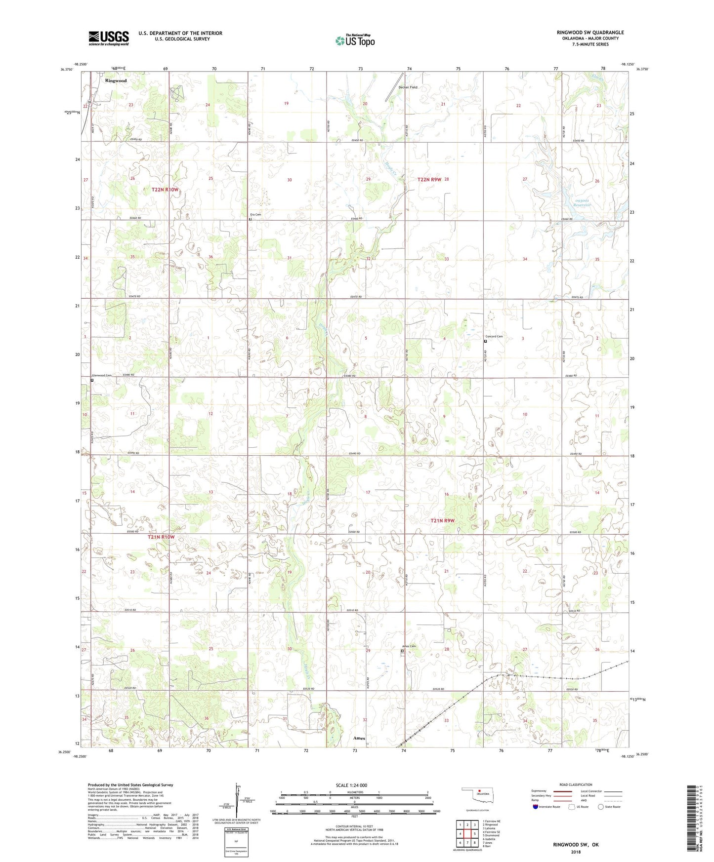
2022 topographic map quadrangle Ringwood SW in the state of Oklahoma. Scale: 1:24000. Based on the newly updated USGS 7.5' US Topo map series, this map is in the following counties: Major. The map contains contour data, water features, and other items you are used to seeing on USGS maps, but also has updated roads and other features. This is the next generation of topographic maps. Printed on high-quality waterproof paper with UV fade-resistant inks.
Quads adjacent to this one:
West: Fairview SE
Northwest: Fairview NE
North: Ringwood
Northeast: Lahoma
East: Drummond
Southeast: Barr
South: Ames
Southwest: Isabella
This map covers the same area as the classic USGS quad with code o36098c2.
Contains the following named places: Ames Cemetery, Ames Middle School, Concord Cemetery, Era Cemetery, Glenwood Cemetery, Johnson Field, Oknoname 093001 Dam, Oknoname 093001 Reservoir, Parker Church, Sugar Creek Site 30 Dam, Sugar Creek Site 30 Reservoir, ZIP Code: 73760