MyTopo
Earlsboro Oklahoma US Topo Map
Couldn't load pickup availability
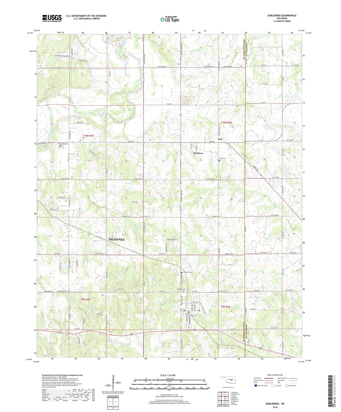
2022 topographic map quadrangle Earlsboro in the state of Oklahoma. Scale: 1:24000. Based on the newly updated USGS 7.5' US Topo map series, this map is in the following counties: Pottawatomie, Seminole. The map contains contour data, water features, and other items you are used to seeing on USGS maps, but also has updated roads and other features. This is the next generation of topographic maps. Printed on high-quality waterproof paper with UV fade-resistant inks.
Quads adjacent to this one:
West: Shawnee
Northwest: Aydelotte
North: Shawnee NE
Northeast: Prague
East: Prague SW
Southeast: Seminole
South: Maud
Southwest: Brooksville
This map covers the same area as the classic USGS quad with code o35096c7.
Contains the following named places: Earlsboro, Earlsboro Cemetery, Earlsboro Cemetery - African American, Earlsboro Elementary School, Earlsboro High School, Earlsboro Post Office, Earlsboro Volunteer Fire Department, East Shawnee Oil Field, Fairview Church, Hilltop Church, King Oil Field, Neal, Neal Cemetery, North Earlsboro Oil Field, Northwest Earlsboro Oil Field, Oknoname 12507 Dam, Oknoname 12507 Reservoir, Oknoname 12508 Dam, Oknoname 12508 Reservoir, Resthaven Memorial Park, Rock Creek, Rock Creek Church, South Rock Creek Elementary School, Tecumseh Junction, Town of Earlsboro, Township of Rock Creek, Victory Hill Oil Field, ZIP Code: 74840