MyTopo
El Reno NE Oklahoma US Topo Map
Couldn't load pickup availability
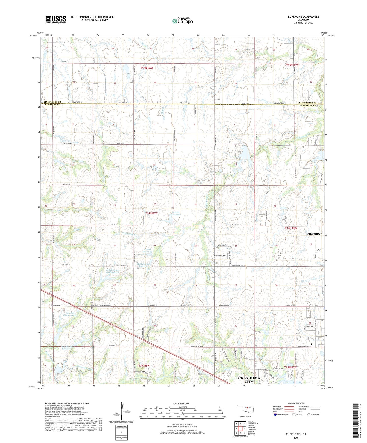
2022 topographic map quadrangle El Reno NE in the state of Oklahoma. Scale: 1:24000. Based on the newly updated USGS 7.5' US Topo map series, this map is in the following counties: Canadian, Kingfisher. The map contains contour data, water features, and other items you are used to seeing on USGS maps, but also has updated roads and other features. This is the next generation of topographic maps. Printed on high-quality waterproof paper with UV fade-resistant inks.
Quads adjacent to this one:
West: Okarche
Northwest: Kingfisher
North: Kingfisher SE
Northeast: Cashion
East: Piedmont
Southeast: Bethany
South: Richland
Southwest: El Reno
This map covers the same area as the classic USGS quad with code o35097f7.
Contains the following named places: City of Piedmont, Cottonwood Creek Site 16 Dam, Cottonwood Creek Site 16 Reservoir, Cottonwood Creek Site 17 Dam, Cottonwood Creek Site 17 Reservoir, Isabel Loosen Rein Dam, Isabel Loosen Rein Reservoir, M L McLain Dam, M L McLain Reservoir, Mathewson Cemetery, McClain 209 Dam, McClain 209 Reservoir, Northwood Dam, Oknoname 017003 Dam, Oknoname 017003 Reservoir, Oknoname 017005 Dam, Oknoname 017200 Dam, Oknoname 017200 Reservoir, Oknoname Canadian County 5 Lake, Palmer Cemetery, Piedmont High School, Piedmont Primary Elementary School, Uncle John Creek Site 10 Dam, Uncle John Creek Site 10 Reservoir, ZIP Code: 73078