MyTopo
Gans Oklahoma US Topo Map
Couldn't load pickup availability
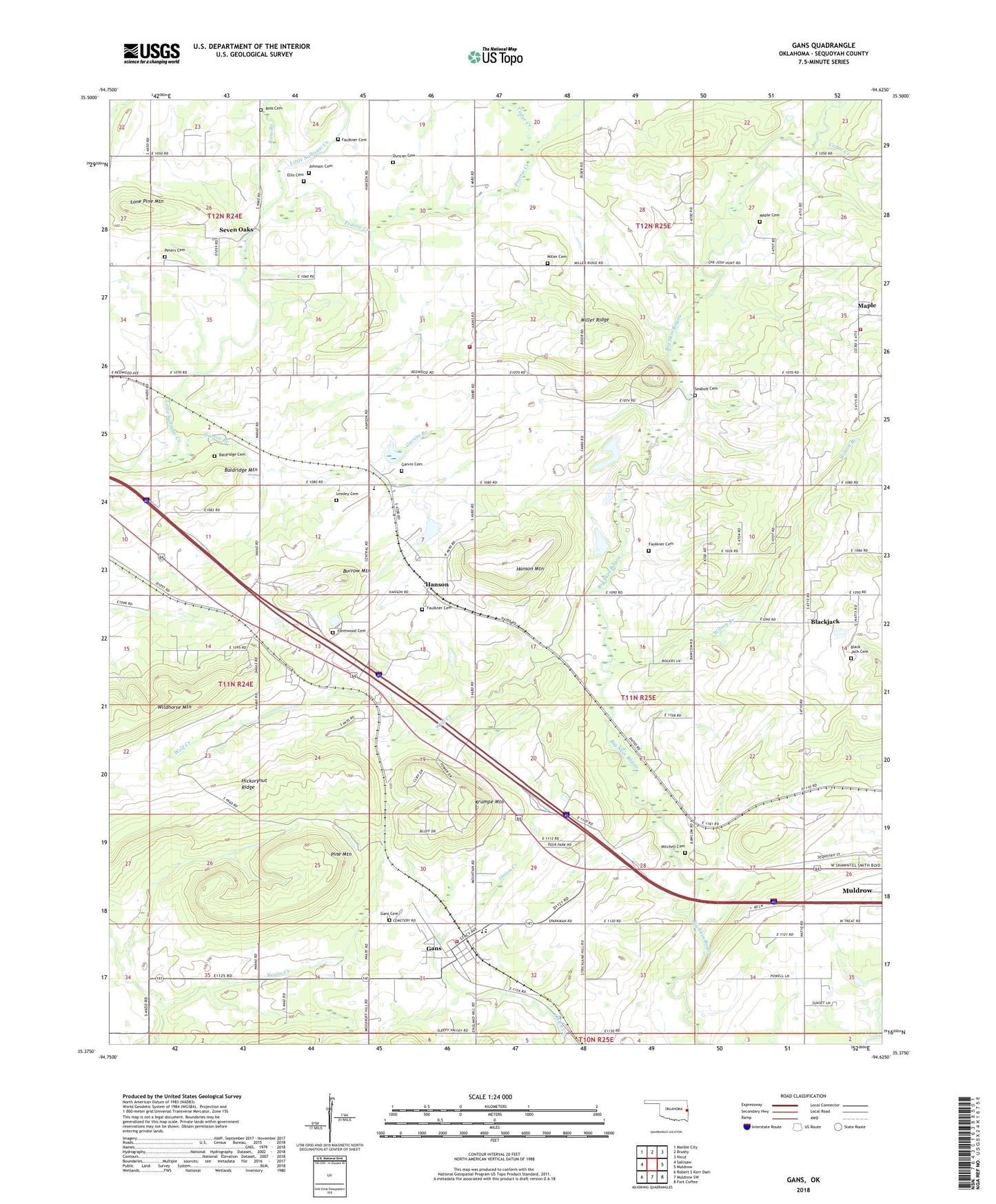
2022 topographic map quadrangle Gans in the state of Oklahoma. Scale: 1:24000. Based on the newly updated USGS 7.5' US Topo map series, this map is in the following counties: Sequoyah. The map contains contour data, water features, and other items you are used to seeing on USGS maps, but also has updated roads and other features. This is the next generation of topographic maps. Printed on high-quality waterproof paper with UV fade-resistant inks.
Quads adjacent to this one:
West: Sallisaw
Northwest: Marble City
North: Brushy
Northeast: Nicut
East: Muldrow
Southeast: Fort Coffee
South: Muldrow SW
Southwest: Robert S Kerr Dam
This map covers the same area as the classic USGS quad with code o35094d6.
Contains the following named places: Baldridge Cemetery, Baldridge Mountain, Black Creek, Blackjack, Blackjack Cemetery, Blackjack Chapel, Burrow Mountain, Cedar Creek, Central Elementary School, Central High School, Ellis Cemetery, Faulkner Cemetery, Fleetwood Cemetery, Gans, Gans Cemetery, Gans Elementary School, Gans High School, Gans Volunteer Fire Department, Garvin Branch, Garvin Cemetery, Gary Myers Volunteer Fire Department, Hanson, Hanson Census Designated Place, Hanson Mountain, Hickorynut Ridge, Johnson Cemetery, KKID-FM (Sallisaw), Krumpe Mountain, Lessley Cemetery, Little Skin Bayou, Lone Pine Mountain, Maple, Maple Cemetery, Maple Chapel, Maple Volunteer Fire Department, Miller Cemetery, Miller Ridge, Mitchell Cemetery, Muldrow Division, Oknoname 135001 Dam, Oknoname 135001 Reservoir, Oknoname 135002 Dam, Oknoname 135002 Reservoir, Old Seabolt Cemetery, Peters Cemetery, Pine Mountain, Prairie Creek, Ross Branch, Ross Cemetery, Sallisaw Creek Site 38 Dam, Sallisaw Creek Site 38 Reservoir, Sallisaw Creek Site 39 Dam, Sallisaw Creek Site 39 Reservoir, Sallisaw Creek Site 40 Dam, Sallisaw Creek Site 40 Reservoir, Seven Oaks, Town of Gans, Township of Akins, Township of Gans, Township of Hanson, Wilson Branch, Wolf Creek, ZIP Codes: 74936, 74955


