MyTopo
Lake Creek Oklahoma US Topo Map
Couldn't load pickup availability
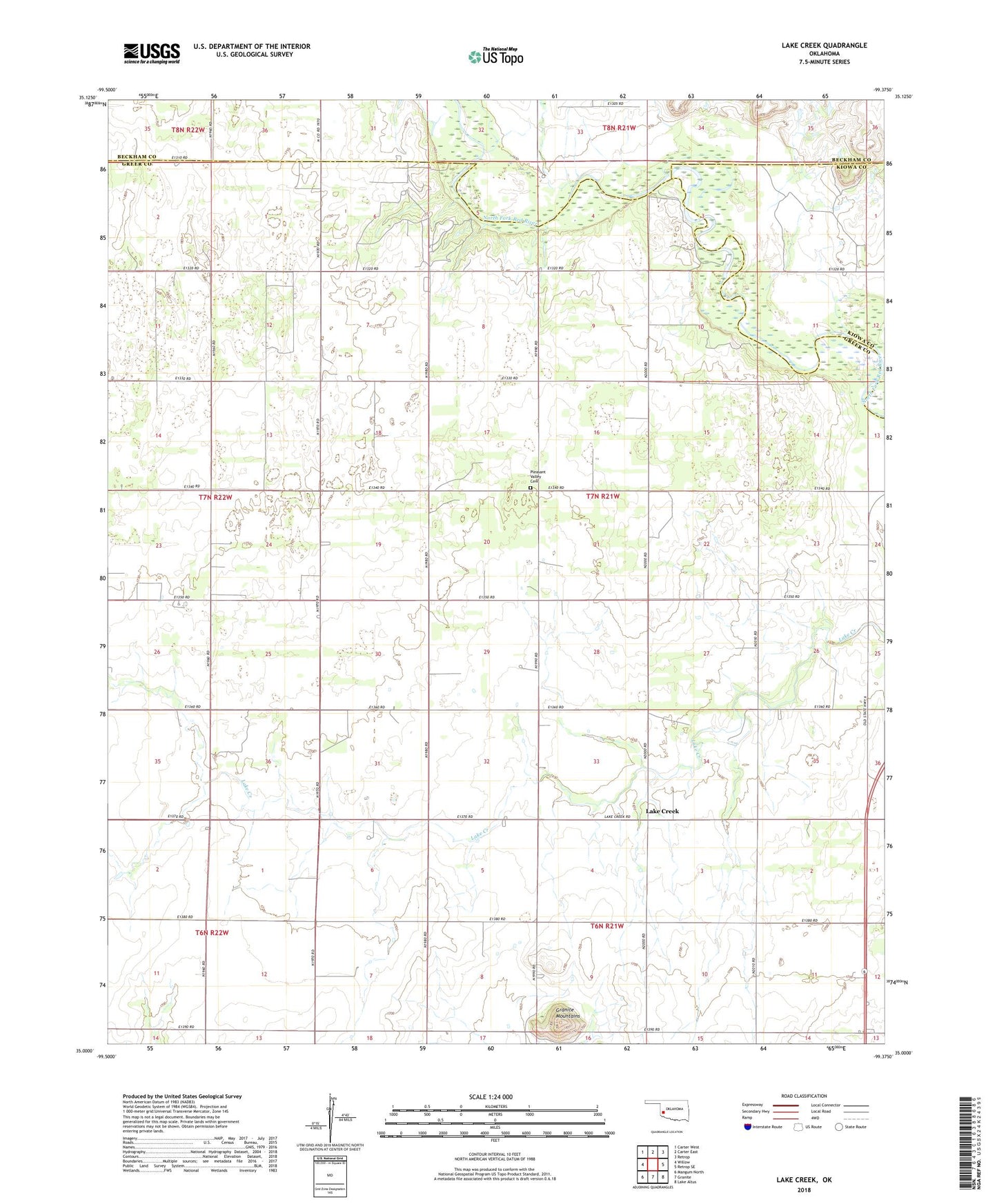
2022 topographic map quadrangle Lake Creek in the state of Oklahoma. Scale: 1:24000. Based on the newly updated USGS 7.5' US Topo map series, this map is in the following counties: Greer, Beckham, Kiowa. The map contains contour data, water features, and other items you are used to seeing on USGS maps, but also has updated roads and other features. This is the next generation of topographic maps. Printed on high-quality waterproof paper with UV fade-resistant inks.
Quads adjacent to this one:
West: Willow
Northwest: Carter West
North: Carter East
Northeast: Retrop
East: Retrop SE
Southeast: Lake Altus
South: Granite
Southwest: Mangum North
This map covers the same area as the classic USGS quad with code o35099a4.
Contains the following named places: Granite Mountains, Lake Creek, Moravia Oil and Gas Field, Pleasant Valley Cemetery