MyTopo
Mangum North Oklahoma US Topo Map
Couldn't load pickup availability
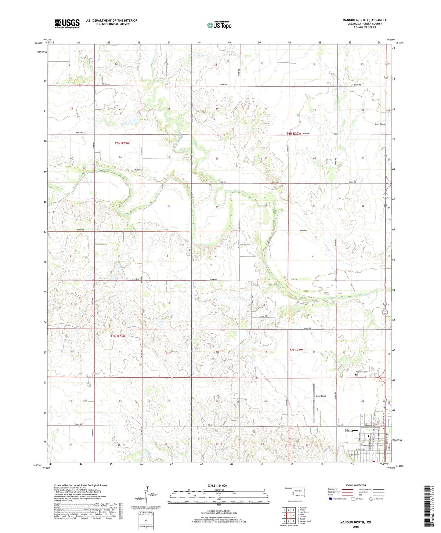
2022 topographic map quadrangle Mangum North in the state of Oklahoma. Scale: 1:24000. Based on the newly updated USGS 7.5' US Topo map series, this map is in the following counties: Greer. The map contains contour data, water features, and other items you are used to seeing on USGS maps, but also has updated roads and other features. This is the next generation of topographic maps. Printed on high-quality waterproof paper with UV fade-resistant inks.
Quads adjacent to this one:
West: Reed
Northwest: Plainview
North: Willow
Northeast: Lake Creek
East: Granite
Southeast: Hester
South: Mangum South
Southwest: Russell
This map covers the same area as the classic USGS quad with code o34099h5.
Contains the following named places: City of Mangum, Edison Elementary School, Greer County, Greer Downs, Harmon Field, Haystack Creek, Mangum Community Hospital, Mangum Fire Department, Mangum High School, Mangum Junior High School, Mangum Middle School, Marie Cemetery, Roselawn Cemetery, Scott Airport, Scott Field, Sleepy John Creek, Township of Mangum, W C Drake Dam, W C Drake Reservoir, ZIP Code: 73554