MyTopo
Mustang Oklahoma US Topo Map
Couldn't load pickup availability
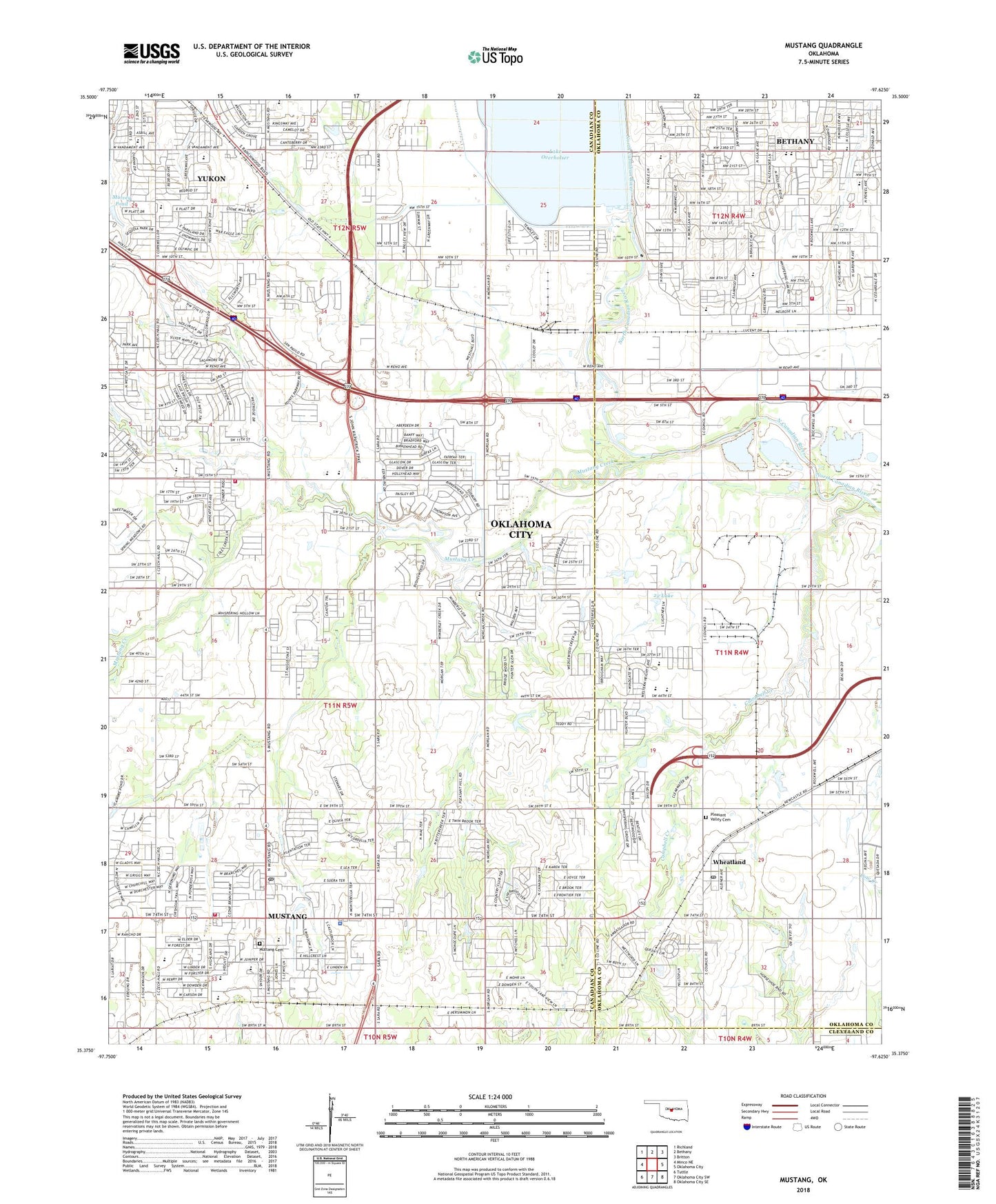
2022 topographic map quadrangle Mustang in the state of Oklahoma. Scale: 1:24000. Based on the newly updated USGS 7.5' US Topo map series, this map is in the following counties: Canadian, Oklahoma, Cleveland. The map contains contour data, water features, and other items you are used to seeing on USGS maps, but also has updated roads and other features. This is the next generation of topographic maps. Printed on high-quality waterproof paper with UV fade-resistant inks.
Quads adjacent to this one:
West: Minco NE
Northwest: Richland
North: Bethany
Northeast: Britton
East: Oklahoma City
Southeast: Oklahoma City SE
South: Oklahoma City SW
Southwest: Tuttle
This map covers the same area as the classic USGS quad with code o35097d6.
Contains the following named places: Apollo Elementary School, Bethany Christian Academy, Bethany Church of God, Black Park, Brethren in Christ Church, Brown Park, Calvary Bible Fellowship Church, Campbell Creek, Canadian Hills Church of the Nazarene, Canadian Valley Chapel, Centennial Elementary School, Church of Christ West Avenue, Church of God, City of Mustang, Cornwell Drive Church of Christ, Cornwell Plaza, Council Grove Elementary School, Council Road Baptist Church, Covenant Community Church, Czech Hall, Deville Park Shop, Deville Shopping Center, East Canadian Division, Fathers House Church, First Assembly of God Church, First Indian Pentecostal Church, Garrison Park, Glen Oaks Shopping Center, Glorieta Baptist Church, Greenvale Elementary School, Harbors Light Assembly of God, Independence Elementary School, India Full Gospel Church, Jernigan Drilling Heliport, KQCV-AM (Oklahoma City), Lake Overholser, Lakeview Middle School, Lecox, Lytle Park, Meadows Park, Melrose Park, Mulvey Pond, Mustang, Mustang Cemetery, Mustang Creek, Mustang Creek Elementary School, Mustang Elementary School, Mustang Fire Department, Mustang High School, Mustang Horizon Intermediate School, Mustang Middle School, Mustang North Middle School, Mustang Police Department, Mustang Post Office, Mustang Trade Center, Mustang Trails Elementary School, Mustang Valley Elementary School, Myers Elementary School, Nicoma Park Church of Christ, Oklahoma City Fire Department Station 20, Oklahoma City Fire Department Station 31, Oklahoma City Fire Department Station 33, Oknoname 22 Dam, Oknoname 22 Lake, Our Savior Lutheran Church, Overholser Dam, Parkland Elementary School, Pentecostal Church of God, Pleasant Valley Cemetery, Putnam City West High School, Ranchwood Church, Saint Thomas Malunkara Orthodox Church, Silver Shopping Center, Town and Country Christian Church, Tropicana Park, United Methodist Church, Vandament Avenue Baptist Church, Victory Worship Center, West Tenth Street Baptist Church, Westchester Church, Western Heights High School, Western Heights Middle School, Western Oaks Baptist Church, Western Oaks Christian Church, Western Oaks Church-Nazarene, Western Oaks Elementary School, Western Oaks Mennonite Church, Western Oaks Middle School, Westlake Presbyterian Church, Westoaks Village Shopping Center, Westside Community Church of God, Wheatland, Wheatland Post Office, Winds West Elementary School, Yukon High School, Yukon Hills Plaza Shopping Center, Zion Pentecostal Church, Zion Worship Center, ZIP Codes: 73097, 73127, 73128, 73169, 73179


