MyTopo
Quanah NE Oklahoma US Topo Map
Couldn't load pickup availability
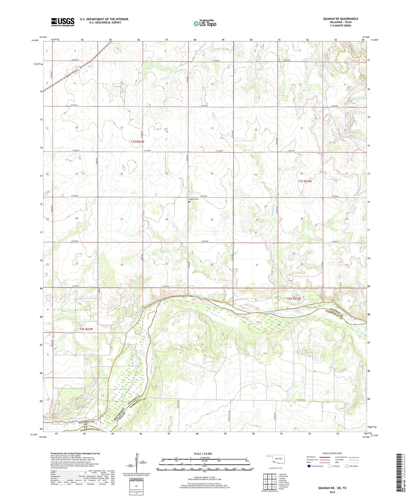
2022 topographic map quadrangle Quanah NE in the state of Oklahoma. Scale: 1:24000. Based on the newly updated USGS 7.5' US Topo map series, this map is in the following counties: Jackson, Hardeman. The map contains contour data, water features, and other items you are used to seeing on USGS maps, but also has updated roads and other features. This is the next generation of topographic maps. Printed on high-quality waterproof paper with UV fade-resistant inks.
Quads adjacent to this one:
West: Eldorado
Northwest: Duke SW
North: Prairie Hill
Northeast: Olustee
East: Ayers Island
Southeast: Odell
South: Chillicothe
Southwest: Quanah East
Contains the following named places: Hi-Point Church, KRKZ-FM (Altus), Midway Community Center, Mule Creek, Odema Cemetery, Sandy Creek, Walker Quarry