MyTopo
Isabella Oklahoma US Topo Map
Couldn't load pickup availability
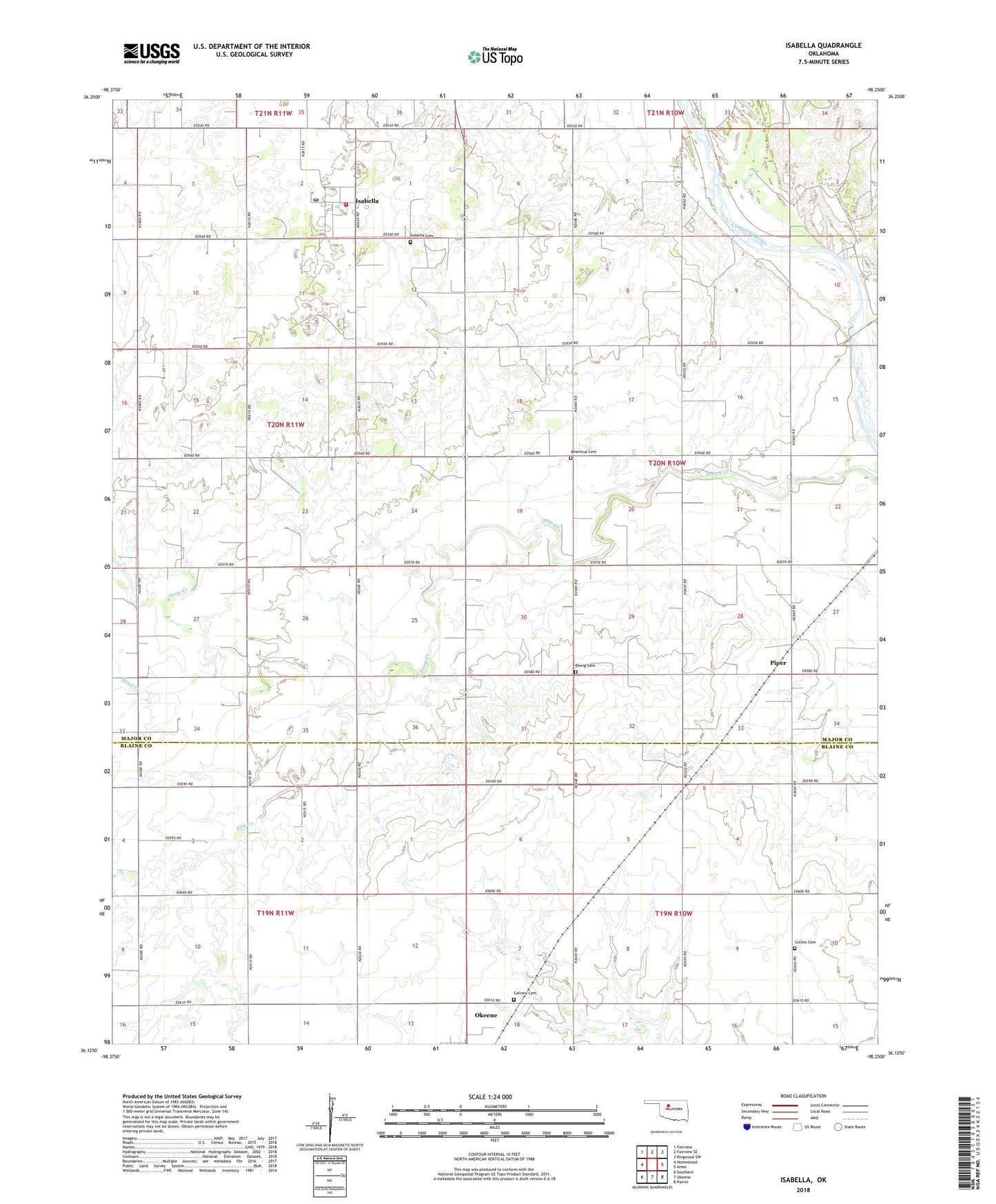
2022 topographic map quadrangle Isabella in the state of Oklahoma. Scale: 1:24000. Based on the newly updated USGS 7.5' US Topo map series, this map is in the following counties: Major, Blaine. The map contains contour data, water features, and other items you are used to seeing on USGS maps, but also has updated roads and other features. This is the next generation of topographic maps. Printed on high-quality waterproof paper with UV fade-resistant inks.
Quads adjacent to this one:
West: Homestead
Northwest: Fairview
North: Fairview SE
Northeast: Ringwood SW
East: Ames
Southeast: Parvin
South: Okeene
Southwest: Southard
This map covers the same area as the classic USGS quad with code o36098b3.
Contains the following named places: Americus Cemetery, Bierig Cemetery, Calvary Cemetery, Collins Cemetery, Elm Creek, Ewing Lake, Ewing Lake Dam, Isabella, Isabella Cemetery, Isabella Census Designated Place, Isabella Fire District, Isabella Post Office, Piper, Sand Creek, Township of Deep Creek, ZIP Code: 73747