MyTopo
Sans Bois Oklahoma US Topo Map
Couldn't load pickup availability
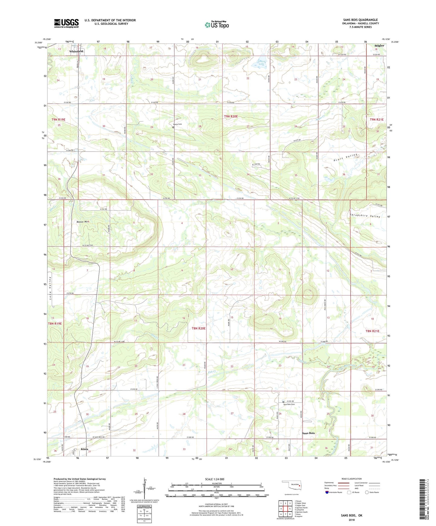
2022 topographic map quadrangle Sans Bois in the state of Oklahoma. Scale: 1:24000. Based on the newly updated USGS 7.5' US Topo map series, this map is in the following counties: Haskell. The map contains contour data, water features, and other items you are used to seeing on USGS maps, but also has updated roads and other features. This is the next generation of topographic maps. Printed on high-quality waterproof paper with UV fade-resistant inks.
Quads adjacent to this one:
West: Quinton North
Northwest: Porum
North: Stigler West
Northeast: Stigler East
East: Lafayette
Southeast: Lequire
South: Kinta
Southwest: Quinton South
This map covers the same area as the classic USGS quad with code o35095b2.
Contains the following named places: Bethel Church, Fenton Lake, Fenton Lake Dam, Fish Creek, Fish Creek Church, Pruit Valley, Rocky Ridge Church, Sans Bois, Sans Bois Cemetery, Southwest Emergency Medical Services Stigler Substation, Vance Family Cemetery