MyTopo
Soper Oklahoma US Topo Map
Couldn't load pickup availability
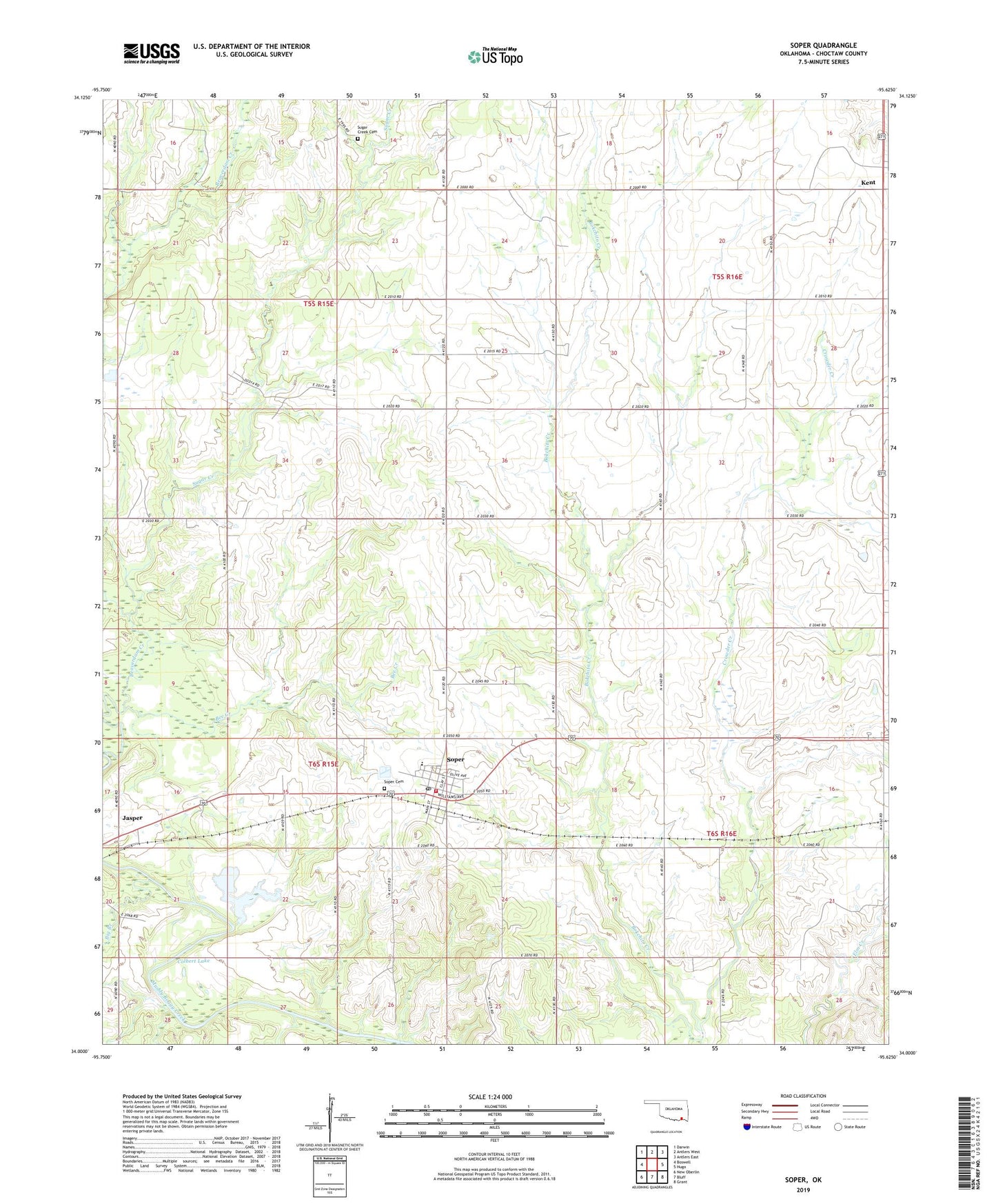
2019 topographic map quadrangle Soper in the state of Oklahoma. Scale: 1:24000. Based on the newly updated USGS 7.5' US Topo map series, this map is in the following counties: Choctaw. The map contains contour data, water features, and other items you are used to seeing on USGS maps, but also has updated roads and other features. This is the next generation of topographic maps. Printed on high-quality waterproof paper with UV fade-resistant inks.
Quads adjacent to this one:
West: Boswell
Northwest: Darwin
North: Antlers West
Northeast: Antlers East
East: Hugo
Southeast: Grant
South: Bluff
Southwest: New Oberlin
Contains the following named places: Beaverdam Creek, Bee Creek, Big Branch, Colbert Lake, Crowder Creek, Jasper, Soper, Soper Cemetery, Soper Elementary School, Soper High School, Soper Post Office, Soper Volunteer Fire Department, Sugar Creek, Sugar Creek Cemetery, Town of Soper, Township of Oakes, ZIP Code: 74759