
MyTopo
Temple NW Oklahoma US Topo Map
Couldn't load pickup availability
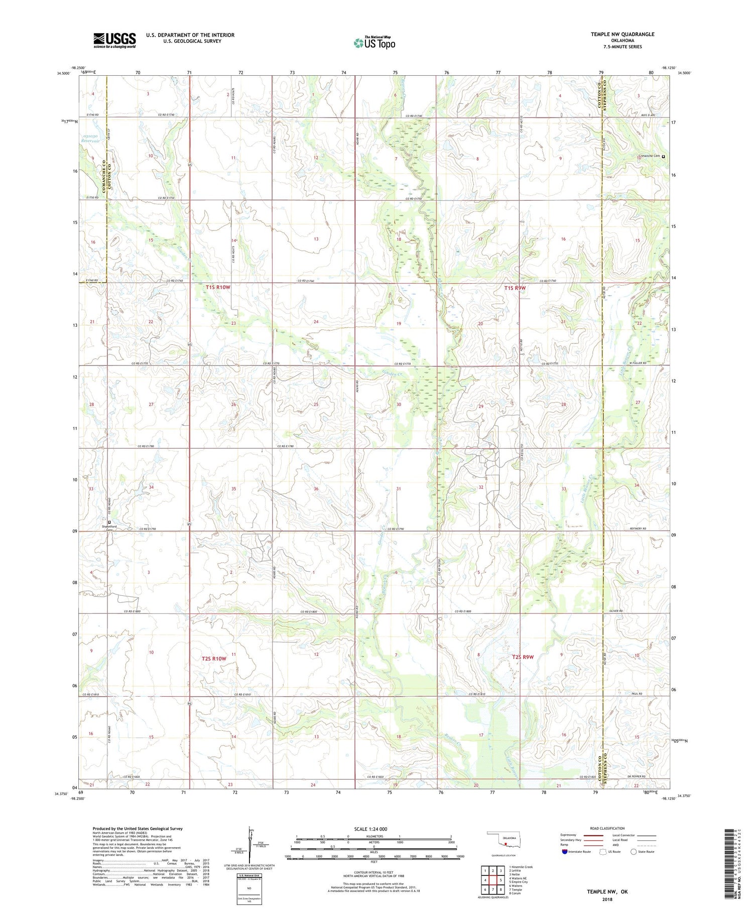
2018 topographic map quadrangle Temple NW in the state of Oklahoma. Scale: 1:24000. Based on the newly updated USGS 7.5' US Topo map series, this map is in the following counties: Cotton, Stephens, Comanche. The map contains contour data, water features, and other items you are used to seeing on USGS maps, but also has updated roads and other features. This is the next generation of topographic maps. Printed on high-quality waterproof paper with UV fade-resistant inks.
Quads adjacent to this one:
West: Walters NE
Northwest: Ninemile Creek
North: Letitia
Northeast: Nellie
East: Empire City
Southeast: Corum
South: Temple
Southwest: Walters
Contains the following named places: Comanche Cemetery, Gooden Creek, Lone Star Church, Oknoname 031030 Dam, Oknoname 031030 Reservoir, Shakelford Cemetery, Stringtown, Township of Beaver, Township of Hulen, Walters Oil Field


