MyTopo
Temple Oklahoma US Topo Map
Couldn't load pickup availability
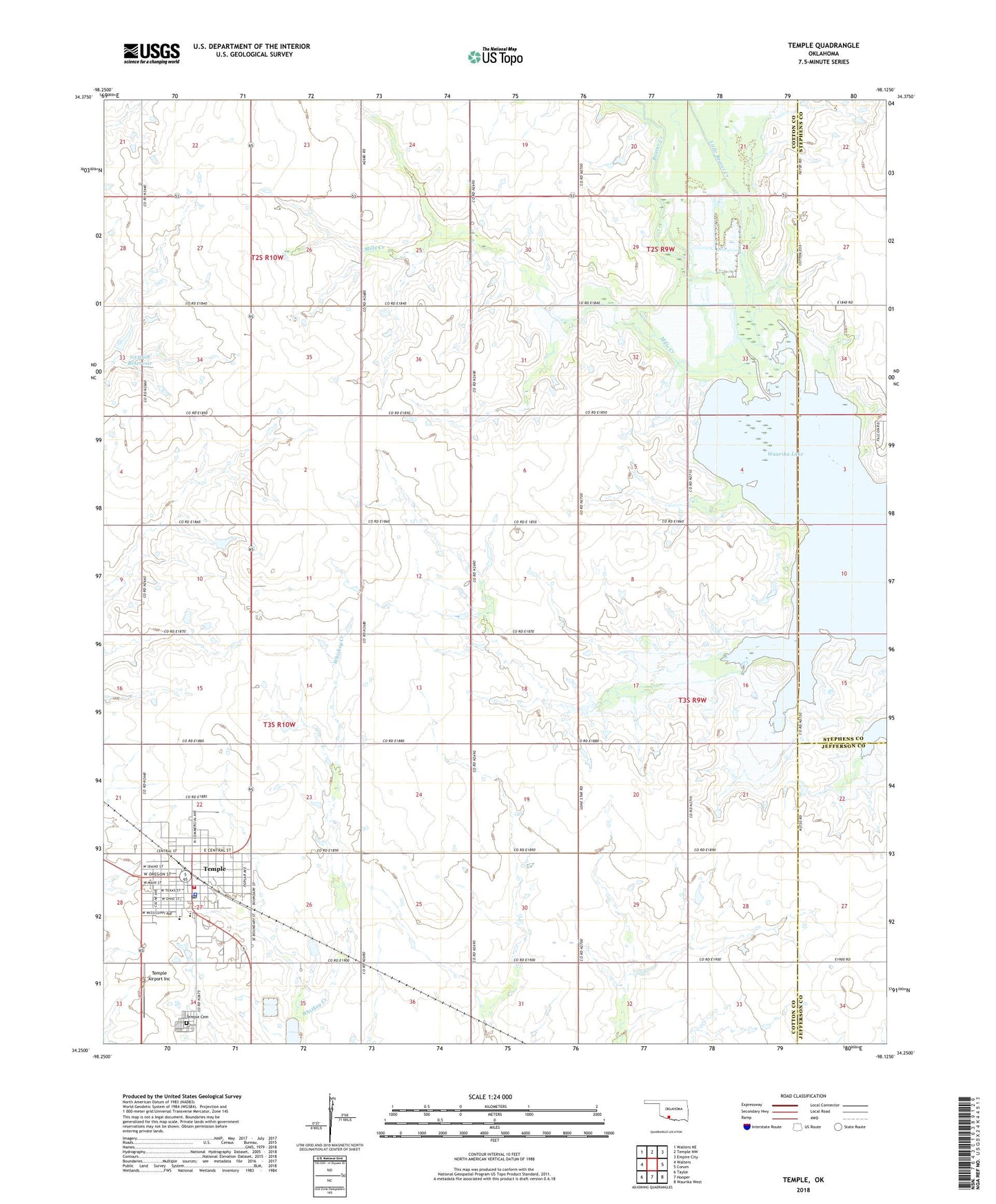
2022 topographic map quadrangle Temple in the state of Oklahoma. Scale: 1:24000. Based on the newly updated USGS 7.5' US Topo map series, this map is in the following counties: Cotton, Stephens, Jefferson. The map contains contour data, water features, and other items you are used to seeing on USGS maps, but also has updated roads and other features. This is the next generation of topographic maps. Printed on high-quality waterproof paper with UV fade-resistant inks.
Quads adjacent to this one:
West: Walters
Northwest: Walters NE
North: Temple NW
Northeast: Empire City
East: Corum
Southeast: Waurika West
South: Hooper
Southwest: Taylor
This map covers the same area as the classic USGS quad with code o34098c2.
Contains the following named places: Fivemile Corner, Little Beaver Creek, Mills, Mills Creek, Oknoname 033008 Dam, Oknoname 033008 Reservoir, Temple, Temple Airport Inc, Temple Cemetery, Temple Elementary School, Temple High School, Temple Police Department, Temple Post Office, Temple Volunteer Fire Department, Town of Temple, Valley View Church, ZIP Code: 73568