MyTopo
Thackerville Oklahoma US Topo Map
Couldn't load pickup availability
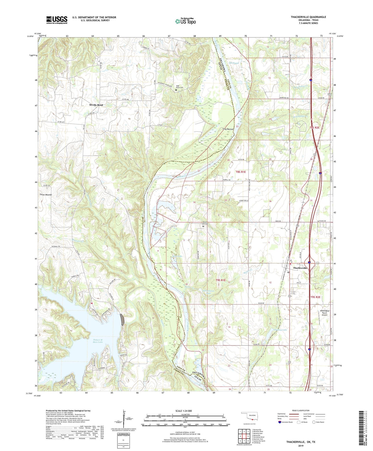
2019 topographic map quadrangle Thackerville in the states of Oklahoma, Texas. Scale: 1:24000. Based on the newly updated USGS 7.5' US Topo map series, this map is in the following counties: Love, Cooke. The map contains contour data, water features, and other items you are used to seeing on USGS maps, but also has updated roads and other features. This is the next generation of topographic maps. Printed on high-quality waterproof paper with UV fade-resistant inks.
Quads adjacent to this one:
West: Marysville
Northwest: Burneyville
North: Marietta West
Northeast: Marietta East
East: Horseshoe Bend
Southeast: Callisburg
South: Gainesville North
Southwest: Muenster East
Contains the following named places: Bear Head Creek, Bills Creek, Bomar, Brewster Creek, Burk Lake, Clouds Branch, Dry Hollow Creek, Fish Creek, Fish Creek Dam, Frog Bottom, Gladney Lake, Gladney Lake Dam, High Point Cemetery, Hubert M Moss Lake, Mercy Health Love County Ambulance, Moss Lake Volunteer Fire Department, Mount Zion Cemetery, North Fish Creek, Old Slough, Sivells Bend, Sivells Bend Oil Field, Sivells Bend School, South Fish Creek, Thackerville, Thackerville Community Volunteer Fire Department, Thackerville Elementary School, Thackerville High School, Thackerville Post Office, Town of Thackerville, Township of Washington, Wester Creek, Whittington Lake, Whittington Lake Dam, Whittington Ranch Airport, Wolf Hollow Creek, ZIP Code: 73459