MyTopo
Andrews Oregon US Topo Map
Couldn't load pickup availability
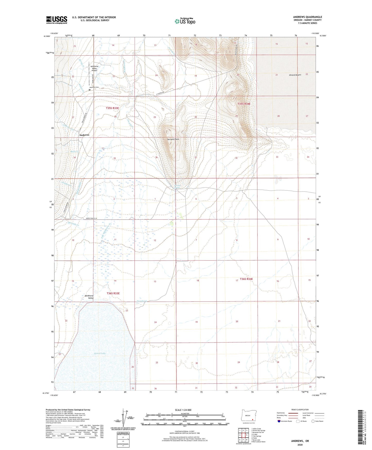
2024 topographic map quadrangle Andrews in the state of Oregon. Scale: 1:24000. Based on the newly updated USGS 7.5' US Topo map series, this map is in the following counties: Harney. The map contains contour data, water features, and other items you are used to seeing on USGS maps, but also has updated roads and other features. This is the next generation of topographic maps. Printed on high-quality waterproof paper with UV fade-resistant inks.
Quads adjacent to this one:
West: V Lake
Northwest: Ankle Creek
North: Alvord Hot Springs
Northeast: Miranda Flat SW
East: Tule Springs
Southeast: Red Lookout Butte
South: Borax Lake
Southwest: Fields
This map covers the same area as the classic USGS quad with code o42118d5.
Contains the following named places: Alvord Creek, Alvord Lake, Alvord Post Office, Andrews, Andrews Cemetery, Andrews Creek, Andrews Post Office, Andrews School, Butte Creek, Camp Alvord, Carlson Creek, Corral Creek, Dixon Spring, East Branch Wildhorse Creek, Juniper Creek, Kissack/Reynolds Airport, Kueny Ditch, Kueny Ranch, McLean Place, Miranda Creek, Penland Ranch, Reallis Homestead, Serrano Point, Serrano Point Ranch, Serrano Spring, Smyth Wells, Spring Creek, Wildhorse Creek, Wildhorse Valley, Wilson Creek