MyTopo
V Lake Oregon US Topo Map
Couldn't load pickup availability
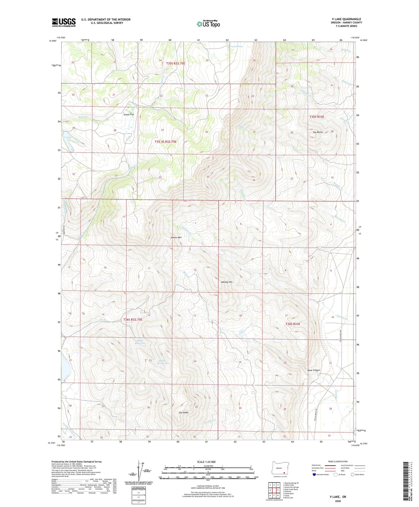
2023 topographic map quadrangle V Lake in the state of Oregon. Scale: 1:24000. Based on the newly updated USGS 7.5' US Topo map series, this map is in the following counties: Harney. The map contains contour data, water features, and other items you are used to seeing on USGS maps, but also has updated roads and other features. This is the next generation of topographic maps. Printed on high-quality waterproof paper with UV fade-resistant inks.
Quads adjacent to this one:
West: Skull Creek Butte
Northwest: Roaring Springs SE
North: Ankle Creek
Northeast: Alvord Hot Springs
East: Andrews
Southeast: Borax Lake
South: Fields
Southwest: Fields Basin
This map covers the same area as the classic USGS quad with code o42118d6.
Contains the following named places: Bango Reservoir, Bingo Reservoir, Blair Ranch, Bone Canyon, Bone Creek, Chet Curry Ranch, Skull Creek Reservoir, Smith Flat, The Butte, The Peaks, Twin Springs, V Lake, Whisky Hill