MyTopo
Arrastra Butte Oregon US Topo Map
Couldn't load pickup availability
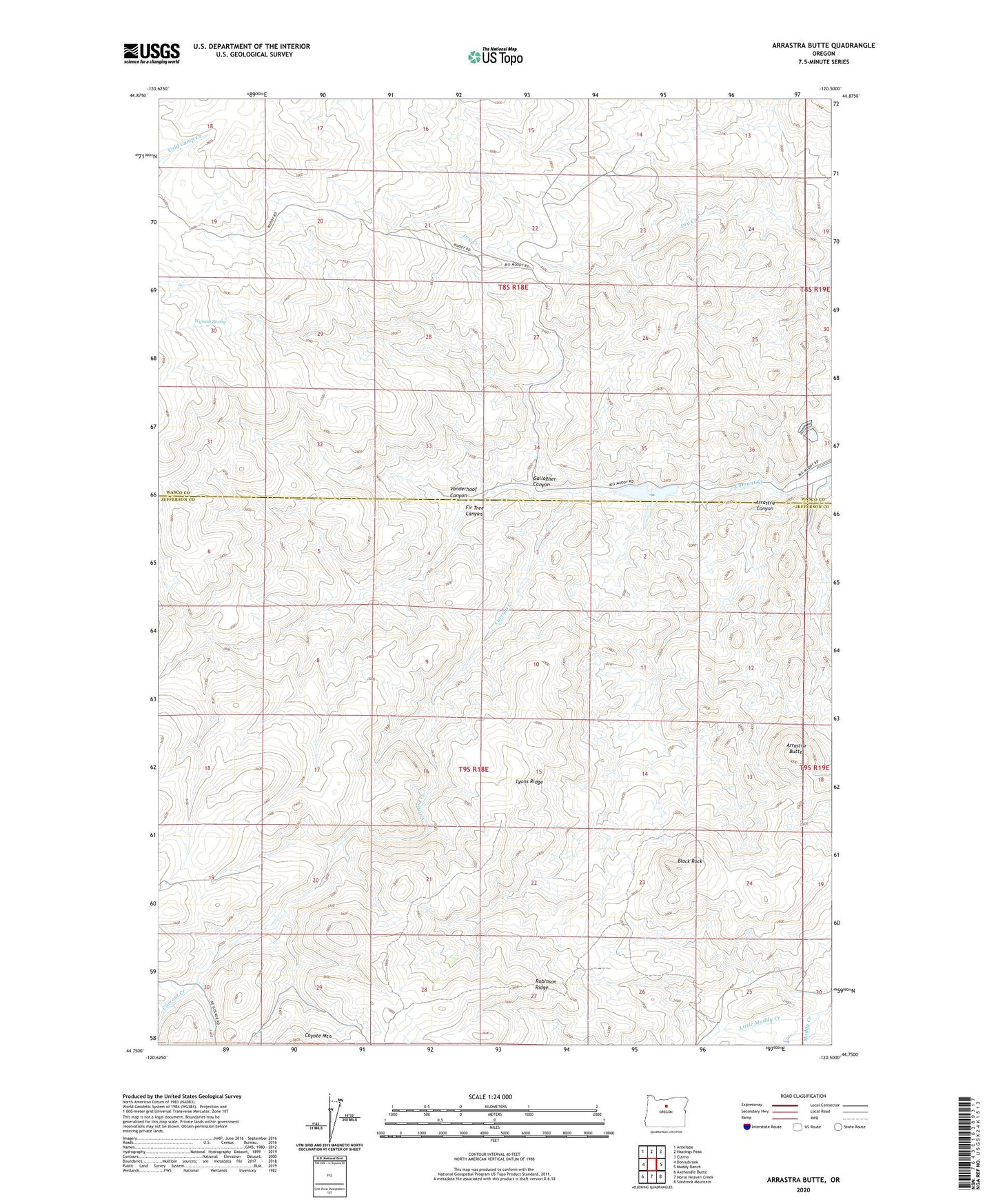
2023 topographic map quadrangle Arrastra Butte in the state of Oregon. Scale: 1:24000. Based on the newly updated USGS 7.5' US Topo map series, this map is in the following counties: Jefferson, Wasco. The map contains contour data, water features, and other items you are used to seeing on USGS maps, but also has updated roads and other features. This is the next generation of topographic maps. Printed on high-quality waterproof paper with UV fade-resistant inks.
Quads adjacent to this one:
West: Donnybrook
Northwest: Antelope
North: Hastings Peak
Northeast: Clarno
East: Muddy Ranch
Southeast: Sandrock Mountain
South: Horse Heaven Creek
Southwest: Axehandle Butte
This map covers the same area as the classic USGS quad with code o44120g5.
Contains the following named places: Arrastra Butte, Arrastra Canyon, Black Rock, Currant Creek Reservoir, Fir Tree Canyon, Gallagher Canyon, Ince Camp, Lace Camp, Little Muddy Creek, Lyons Ridge, Queen Oregon Mines, Robinson Ridge, Vanderhoof Canyon, Wyman Spring