MyTopo
Battle Creek Ranch Oregon US Topo Map
Couldn't load pickup availability
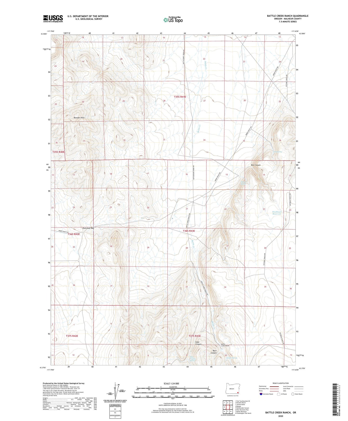
2023 topographic map quadrangle Battle Creek Ranch in the state of Oregon. Scale: 1:24000. Based on the newly updated USGS 7.5' US Topo map series, this map is in the following counties: Malheur. The map contains contour data, water features, and other items you are used to seeing on USGS maps, but also has updated roads and other features. This is the next generation of topographic maps. Printed on high-quality waterproof paper with UV fade-resistant inks.
Quads adjacent to this one:
West: Basque
Northwest: Flat Top Mountain SE
North: Bowden Ranch
Northeast: Jackies Butte
East: Rattlesnake Canyon
Southeast: Grasshopper Flat North
South: Battle Mountain
Southwest: Blue Mountain Pass
This map covers the same area as the classic USGS quad with code o42117d6.
Contains the following named places: Barn Canyon, Battle Creek Ranch, Bowden Hills, Box Canyon, Cherry Spring, Cherry Well, Harper Spring, Isaac Canyon, Isaac Canyon Spring, Overshoe Pass, Tree Spring, Woolhawk Reservoir