MyTopo
Beaver Butte Oregon US Topo Map
Couldn't load pickup availability
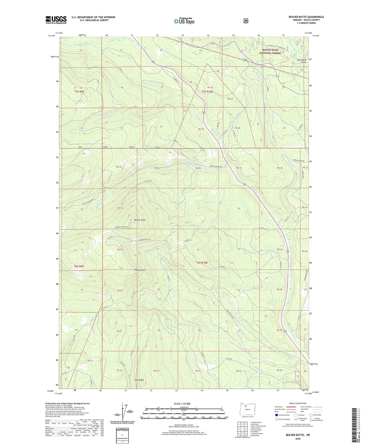
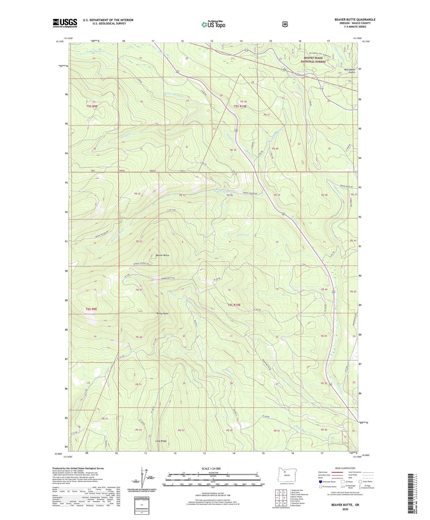
2020 topographic map quadrangle Beaver Butte in the state of Oregon. Scale: 1:24000. Based on the newly updated USGS 7.5' US Topo map series, this map is in the following counties: Wasco. The map contains contour data, water features, and other items you are used to seeing on USGS maps, but also has updated roads and other features. This is the next generation of topographic maps. Printed on high-quality waterproof paper with UV fade-resistant inks.
Quads adjacent to this one:
West: Mount Wilson
Northwest: Wapinitia Pass
North: Post Point
Northeast: Rock Creek Reservoir
East: Foreman Point
Southeast: Hehe Butte
South: Sidwalter Buttes
Southwest: Fort Butte
Contains the following named places: Bear Spring, Bear Springs Ranger Station, Bear Springs Recreation Site, Beaver Butte, Beaver Butte Creek, Beaver Creek Driveway, Cedar Swamp Creek, Cold Spring Creek, Cold Springs Creek, Dahl Pine, Indian Creek, Long Ridge, McQuinn Strip, Persia M Robinson Natural Area, Robinson Picnic Area, Rocky Point, Willow Creek, Wilson Creek