MyTopo
Black Crater Oregon US Topo Map
Couldn't load pickup availability
Also explore the Black Crater Forest Service Topo of this same quad for updated USFS data
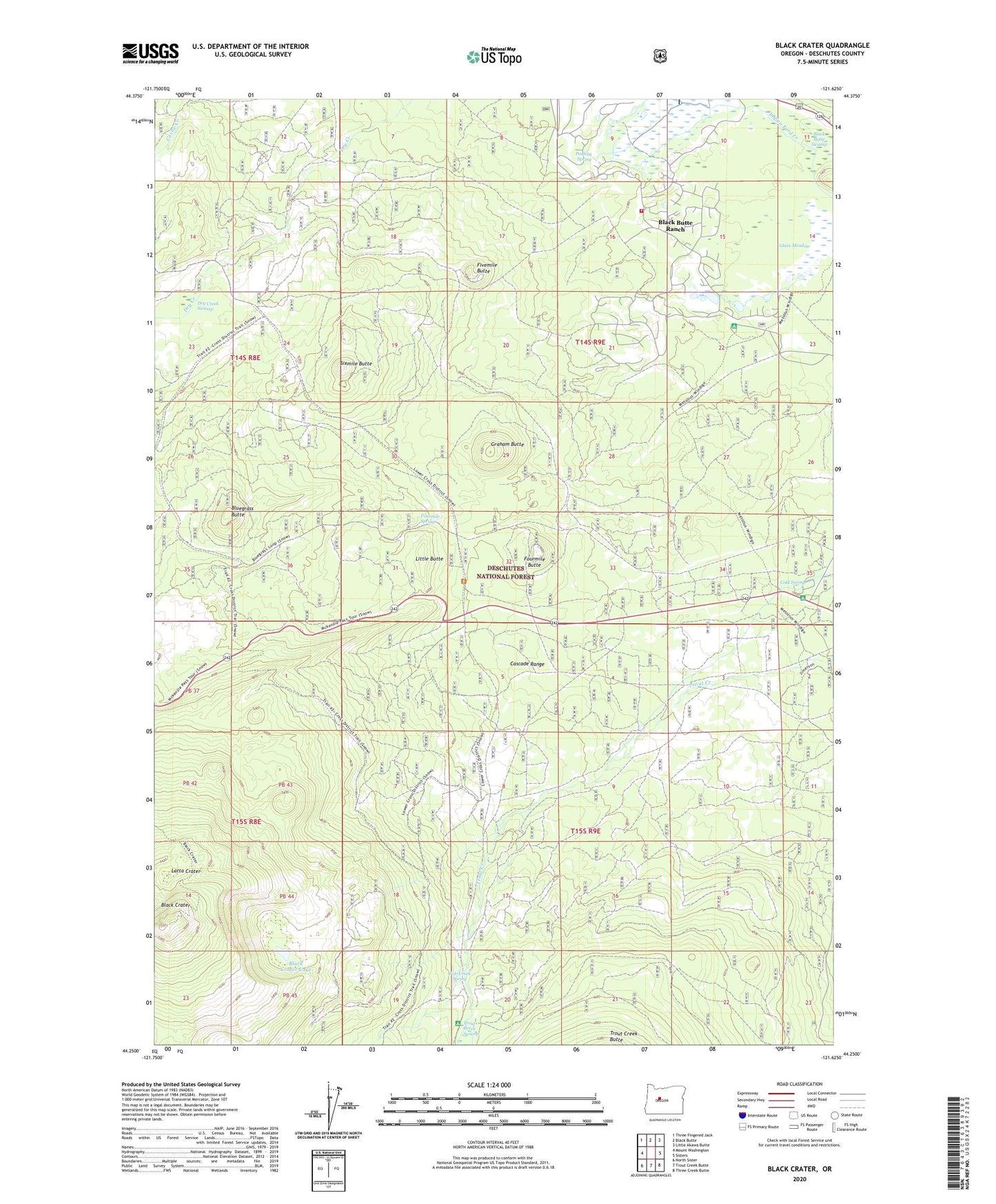
2024 topographic map quadrangle Black Crater in the state of Oregon. Scale: 1:24000. Based on the newly updated USGS 7.5' US Topo map series, this map is in the following counties: Deschutes. The map contains contour data, water features, and other items you are used to seeing on USGS maps, but also has updated roads and other features. This is the next generation of topographic maps. Printed on high-quality waterproof paper with UV fade-resistant inks.
Quads adjacent to this one:
West: Mount Washington
Northwest: Three Fingered Jack
North: Black Butte
Northeast: Little Akawa Butte
East: Sisters
Southeast: Three Creek Butte
South: Trout Creek Butte
Southwest: North Sister
This map covers the same area as the classic USGS quad with code o44121c6.
Contains the following named places: Big Meadow Golf Course, Black Butte Ranch Census Designated Place, Black Butte Ranch Rural Fire Protection District, Black Butte Swamp, Black Crater Lake, Bluegrass Butte, Cold Spring, Cold Spring Recreation Site, Dry Creek Swamp, Fivemile Butte, Fourmile Butte, Fourmile Spring, Glaze Meadow, Glaze Meadow Golf Course, Graham Butte, Graham Corral Horse Camp, Latta Crater, Little Butte, Nootnagle Dam, Nootnagle Reservoir, Paulina Spring, Pole Creek Spring, Sisters Horse Camp, Sixmile Butte, Trout Creek, Whispering Pine Horse Camp