MyTopo
Black Butte Oregon US Topo Map
Couldn't load pickup availability
Also explore the Black Butte Forest Service Topo of this same quad for updated USFS data
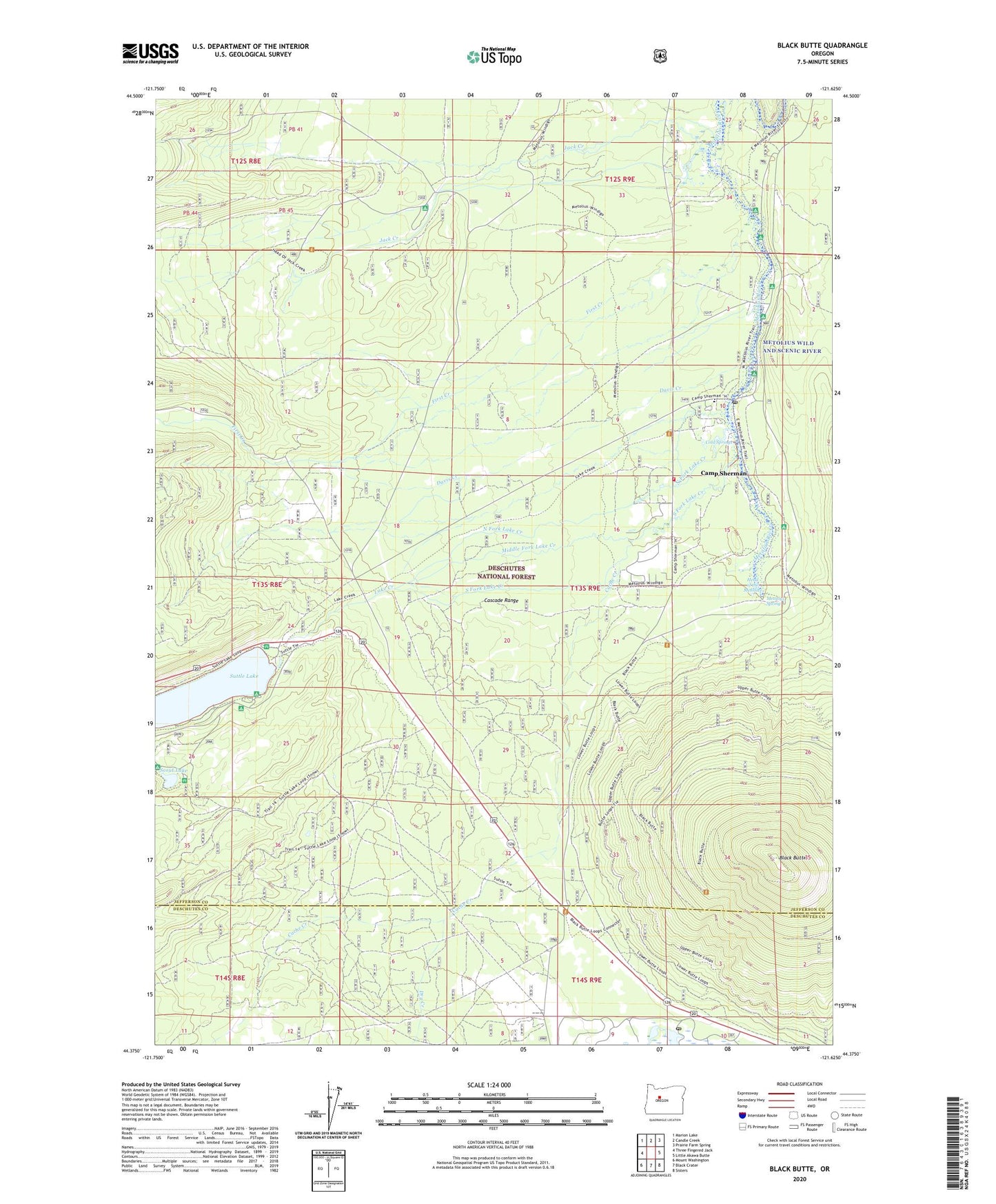
2023 topographic map quadrangle Black Butte in the state of Oregon. Scale: 1:24000. Based on the newly updated USGS 7.5' US Topo map series, this map is in the following counties: Jefferson, Deschutes. The map contains contour data, water features, and other items you are used to seeing on USGS maps, but also has updated roads and other features. This is the next generation of topographic maps. Printed on high-quality waterproof paper with UV fade-resistant inks.
Quads adjacent to this one:
West: Three Fingered Jack
Northwest: Marion Lake
North: Candle Creek
Northeast: Prairie Farm Spring
East: Little Akawa Butte
Southeast: Sisters
South: Black Crater
Southwest: Mount Washington
This map covers the same area as the classic USGS quad with code o44121d6.
Contains the following named places: Allingham Guard Station, Allingham Recreation Site, Black Butte, Black Butte Elementary School, Black Butte Lookout Station, Black Butte Ranch, Black Butte Ranch Post Office, Black Butte Ranch Wastewater Treatment Plant, Blue Bay Campground Boat Ramp, Blue Bay Recreation Site, Cache Creek, Camp Sherman, Camp Sherman Census Designated Place, Camp Sherman Fire Department, Camp Sherman Post Office, Camp Sherman Recreation Site, Cinder Beach Recreation Site, Circle M Ranch, Cold Springs, Davis Creek, Dry Creek, First Creek, Gorge Recreation Site, Head of Jack Creek, Head of Metolius Recreation Site, Head of the Metolius, House on the Metolius Resort, Jack Creek, Jack Creek Recreation Site, Lake Creek, Lake Creek Lodge, Matoles Post Office, Methodist Youth Camp, Metolius Spring, Middle Fork Lake Creek, North Fork Lake Creek, Pine Rest Recreation Site, River Island Forest Camp, Riverside Recreation Site, Scout Lake, Scout Lake Group Camp, Smiling River Recreation Site, South Fork Lake Creek, South Shore Campground Boat Ramp, South Shore Recreation Site, Spring Creek, Suttle Lake, Suttle Lake Forest Service Station, Suttle Lake Resort, Suttle Lake Resort Dock


