MyTopo
Blue Mountain Oregon US Topo Map
Couldn't load pickup availability
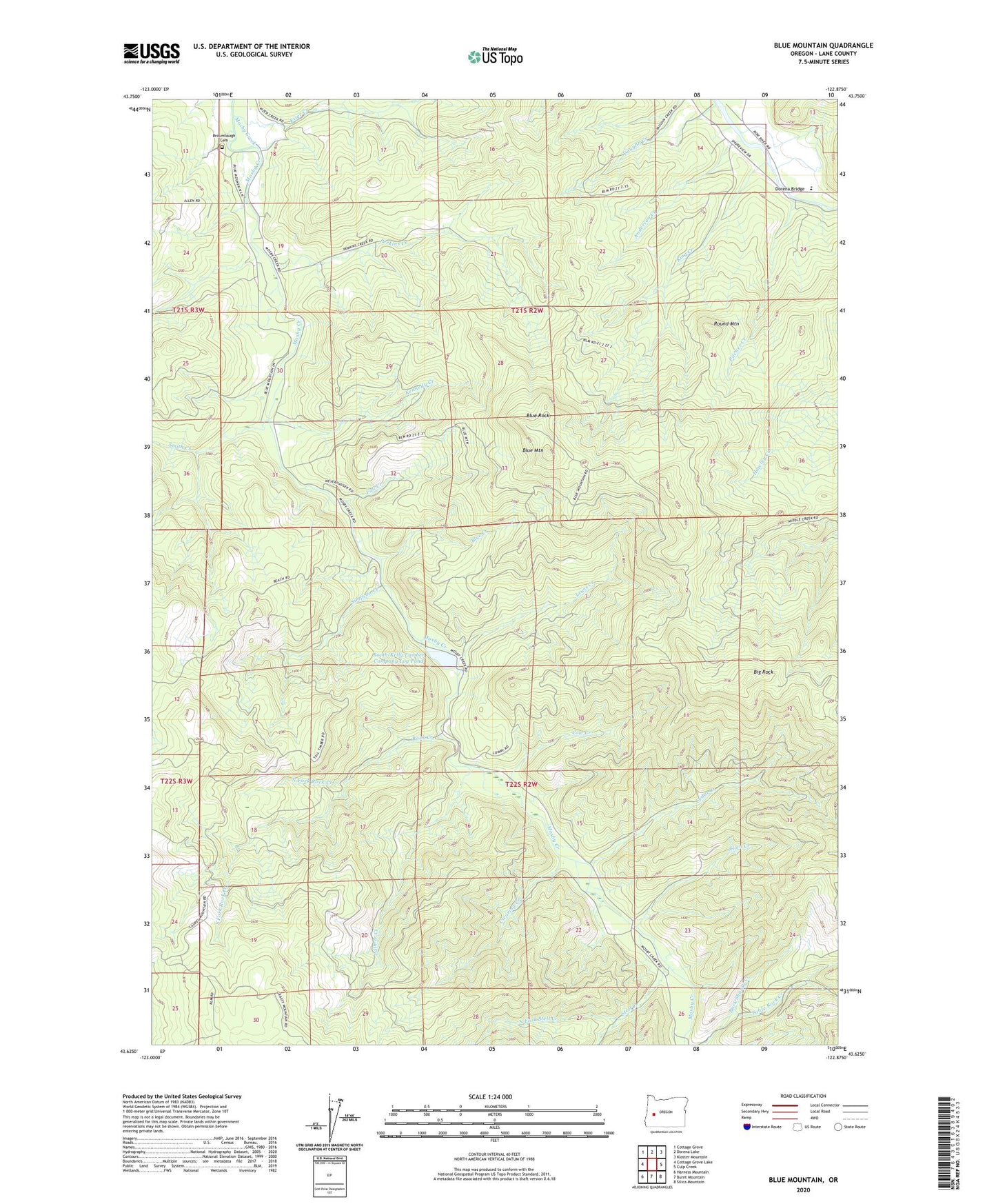
2023 topographic map quadrangle Blue Mountain in the state of Oregon. Scale: 1:24000. Based on the newly updated USGS 7.5' US Topo map series, this map is in the following counties: Lane. The map contains contour data, water features, and other items you are used to seeing on USGS maps, but also has updated roads and other features. This is the next generation of topographic maps. Printed on high-quality waterproof paper with UV fade-resistant inks.
Quads adjacent to this one:
West: Cottage Grove Lake
Northwest: Cottage Grove
North: Dorena Lake
Northeast: Kloster Mountain
East: Culp Creek
Southeast: Silica Mountain
South: Burnt Mountain
Southwest: Harness Mountain
This map covers the same area as the classic USGS quad with code o43122f8.
Contains the following named places: Abrams, Allen Creek, Anderson Creek, Big Rock, Blue Creek, Blue Mountain, Blue Mountain Charter School, Blue Mountain County Park, Blue Rock, Booth-Kelly Lumber Company Log Pond, Booth-Kelly Lumber Company Log Pond Dike, Broumbaugh Cemetery, Cedar Creek, Clearing Creek, Cow Creek, Dorena Bridge, Dorena School, Fall Creek, Kennedy Creek, King Creek, Kizer Creek, Lewis Creek, North Fork Rock Creek, North Fork Stell Creek, Palmer Creek, Perkins Creek, Pitcher Creek, Rock Creek, Round Mountain, Row River, Row River Post Office, Short Creek, Simpson Creek, Smith Creek, South Fork Rock Creek, Stell Creek, Stewart, Table Rock Creek, Vaughn County Park, Windfall Adverse