MyTopo
Bluejoint Lake West Oregon US Topo Map
Couldn't load pickup availability
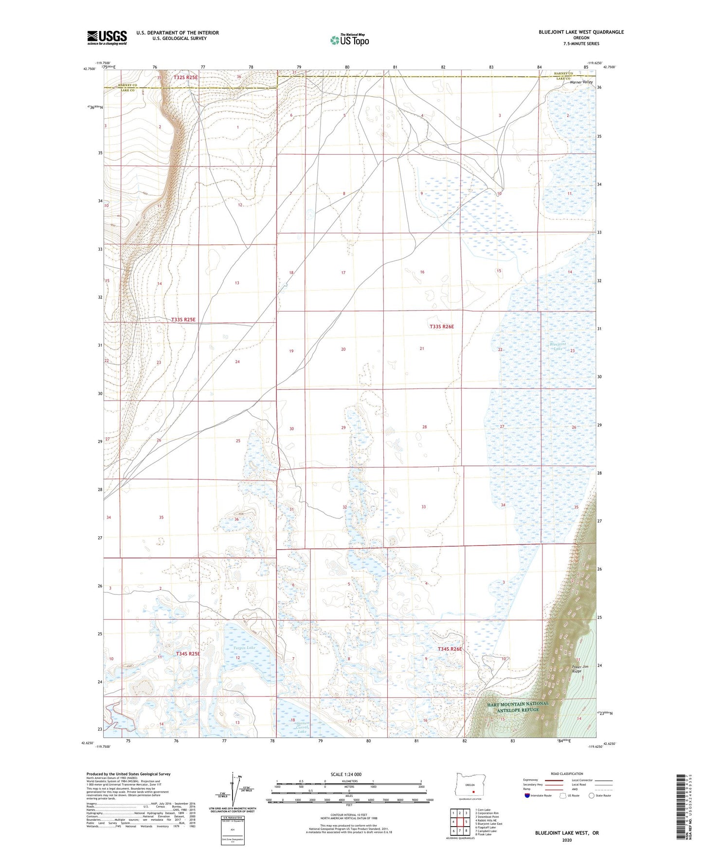
2020 topographic map quadrangle Bluejoint Lake West in the state of Oregon. Scale: 1:24000. Based on the newly updated USGS 7.5' US Topo map series, this map is in the following counties: Lake, Harney. The map contains contour data, water features, and other items you are used to seeing on USGS maps, but also has updated roads and other features. This is the next generation of topographic maps. Printed on high-quality waterproof paper with UV fade-resistant inks.
Quads adjacent to this one:
West: Rabbit Hills NE
Northwest: Corn Lake
North: Corporation Rim
Northeast: Steamboat Point
East: Bluejoint Lake East
Southeast: Flook Lake
South: Campbell Lake
Southwest: Flagstaff Lake
Contains the following named places: Bluejoint Lake, Bluejoint Ranch, Poker Jim Ridge, Turpin Lake