MyTopo
Flagstaff Lake Oregon US Topo Map
Couldn't load pickup availability
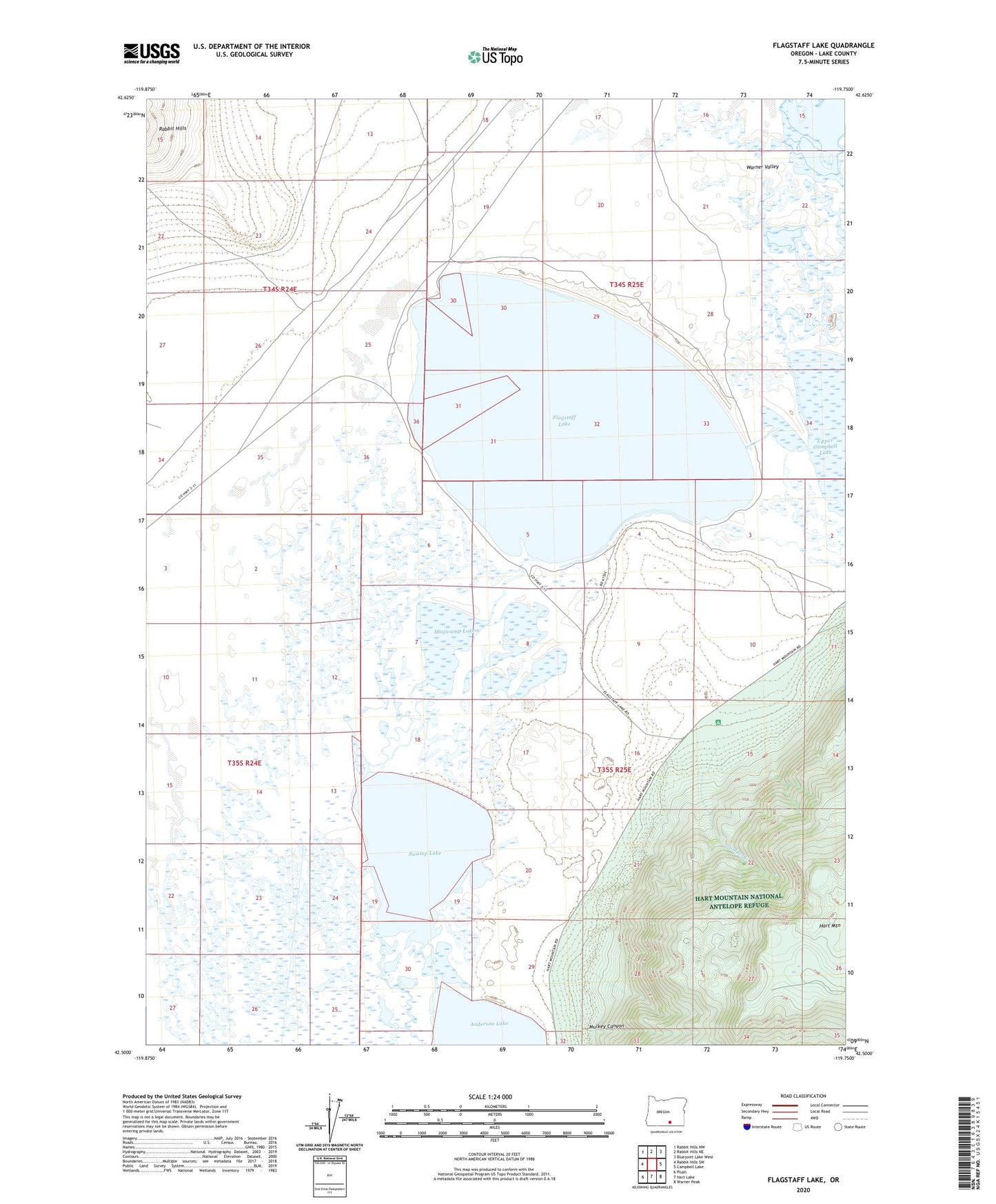
2024 topographic map quadrangle Flagstaff Lake in the state of Oregon. Scale: 1:24000. Based on the newly updated USGS 7.5' US Topo map series, this map is in the following counties: Lake. The map contains contour data, water features, and other items you are used to seeing on USGS maps, but also has updated roads and other features. This is the next generation of topographic maps. Printed on high-quality waterproof paper with UV fade-resistant inks.
Quads adjacent to this one:
West: Rabbit Hills SW
Northwest: Rabbit Hills NW
North: Rabbit Hills NE
Northeast: Bluejoint Lake West
East: Campbell Lake
Southeast: Warner Peak
South: Hart Lake
Southwest: Plush
This map covers the same area as the classic USGS quad with code o42119e7.
Contains the following named places: Anderson Lake, Flagstaff Lake, Juniper Creek, Mugwump Lake, Mulkey Canyon, Swamp Lake