MyTopo
Flook Lake Oregon US Topo Map
Couldn't load pickup availability
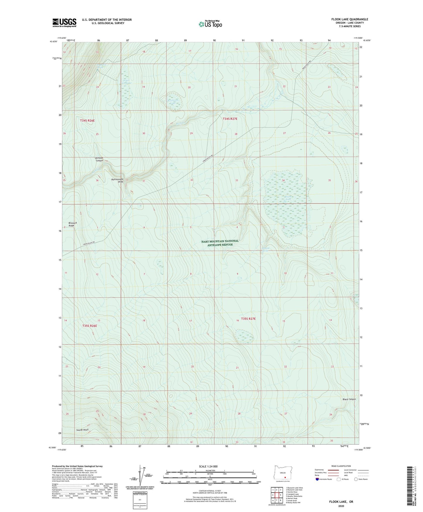
2023 topographic map quadrangle Flook Lake in the state of Oregon. Scale: 1:24000. Based on the newly updated USGS 7.5' US Topo map series, this map is in the following counties: Lake. The map contains contour data, water features, and other items you are used to seeing on USGS maps, but also has updated roads and other features. This is the next generation of topographic maps. Printed on high-quality waterproof paper with UV fade-resistant inks.
Quads adjacent to this one:
West: Campbell Lake
Northwest: Bluejoint Lake West
North: Bluejoint Lake East
Northeast: Sixmile Draw
East: Murphy Waterholes
Southeast: Beatys Butte NW
South: Swede Knoll
Southwest: Warner Peak
This map covers the same area as the classic USGS quad with code o42119e5.
Contains the following named places: Antelope Spring, Blizzard Ridge, Division Canyon, Flook Lake, Flook Ranch, Poker Jim Lake, Poker Jim Spring, Rattlesnake Draw, Reservoir Lake