
MyTopo
Brandy Peak Oregon US Topo Map
Couldn't load pickup availability
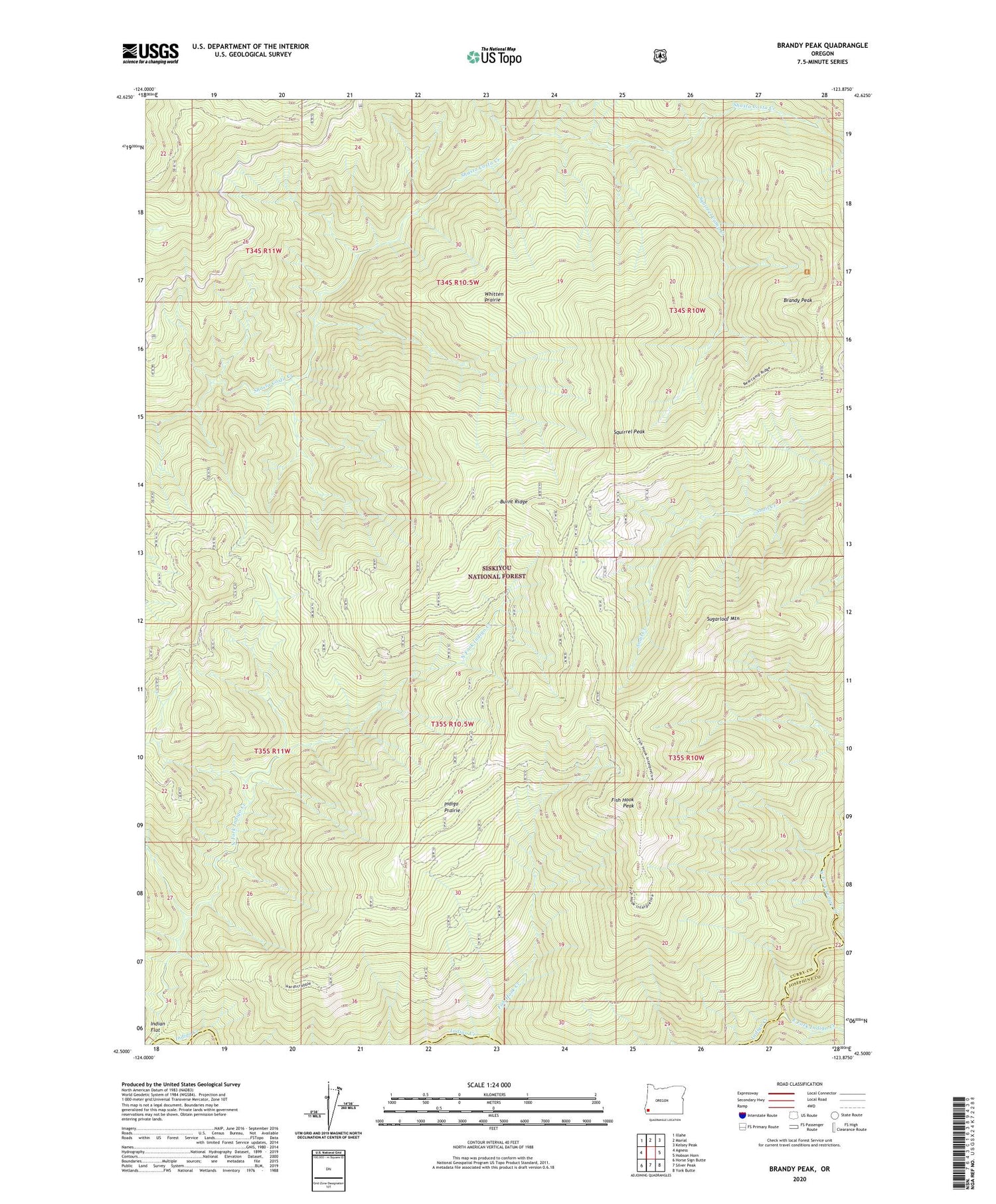
2020 topographic map quadrangle Brandy Peak in the state of Oregon. Scale: 1:24000. Based on the newly updated USGS 7.5' US Topo map series, this map is in the following counties: Curry, Josephine. The map contains contour data, water features, and other items you are used to seeing on USGS maps, but also has updated roads and other features. This is the next generation of topographic maps. Printed on high-quality waterproof paper with UV fade-resistant inks.
Quads adjacent to this one:
West: Agness
Northwest: Illahe
North: Marial
Northeast: Kelsey Peak
East: Hobson Horn
Southeast: York Butte
South: Silver Peak
Southwest: Horse Sign Butte
Contains the following named places: Bear Camp Trail, Brandy Peak, Burnt Ridge, East Fork Indigo Creek, Ekoms Post Office, Fish Hook Camp, Fish Hook Creek, Fish Hook Peak, High Ridge, Indigo Prairie, North Fork Indigo Creek, Squirrel Camp, Squirrel Camp Creek, Squirrel Peak, Sugarloaf Mountain, West Fork Indigo Creek, Whitten Prairie


