MyTopo
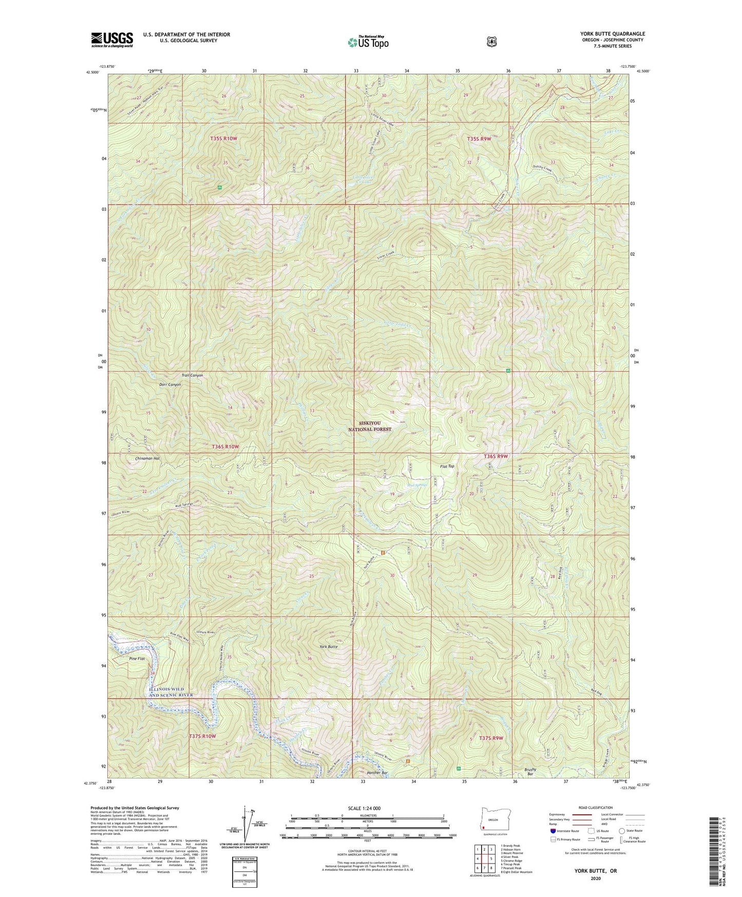
York Butte Oregon US Topo Map
Couldn't load pickup availability
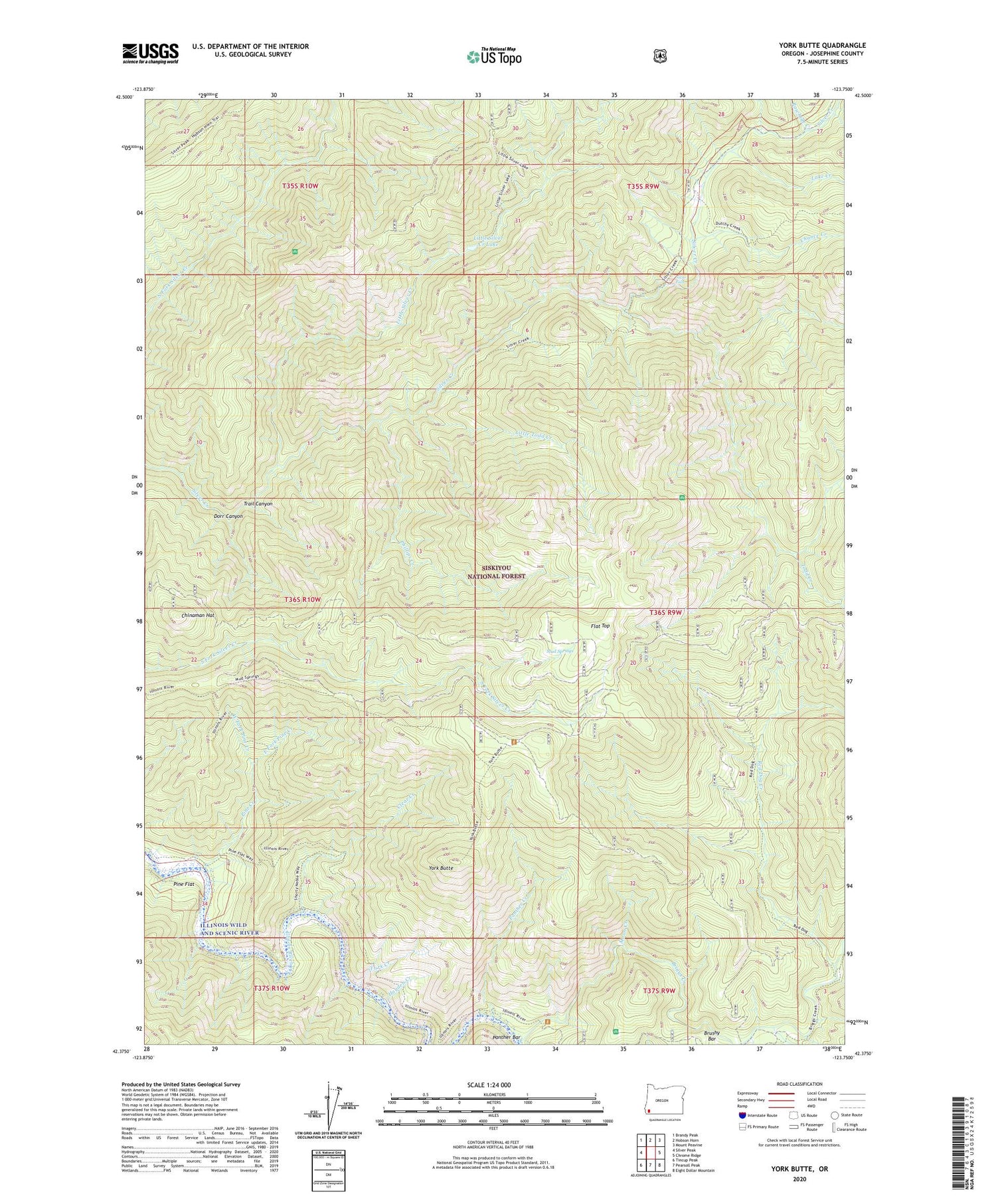
Also explore the York Butte Forest Service Topo of this same quad for updated USFS data
2023 topographic map quadrangle York Butte in the state of Oregon. Scale: 1:24000. Based on the newly updated USGS 7.5' US Topo map series, this map is in the following counties: Josephine. The map contains contour data, water features, and other items you are used to seeing on USGS maps, but also has updated roads and other features. This is the next generation of topographic maps. Printed on high-quality waterproof paper with UV fade-resistant inks.
Quads adjacent to this one:
West: Silver Peak
Northwest: Brandy Peak
North: Hobson Horn
Northeast: Mount Peavine
East: Chrome Ridge
Southeast: Eight Dollar Mountain
South: Pearsoll Peak
Southwest: Tincup Peak
This map covers the same area as the classic USGS quad with code o42123d7.
Contains the following named places: Briggs Creek, Briggs Creek Recreation Site, Brushy Bar, Chance Creek, Chinaman Hat, Clear Creek, Dasher Meadow, Dorr Canyon, East Fork Pine Creek, Flat Top, Hayden Creek, Illinois Wild and Scenic River, Lake Creek, Little Silver Creek, Little Silver Creek Lake, Little Todd Creek, Moon Creek, Mud Springs, Nobles House, Old Glory Mine, Panther Bar, Panther Creek, Phillips Creek, Pine Creek, Pine Creek Shelter, Pine Flat, Rawhide Creek, Red Dog Creek, Silver Falls, Soldier Creek, Todd Creek, Trail Canyon, Weaver Ranch, West Fork Pine Creek, York Butte, York Creek, York Creek Botanical Area