MyTopo
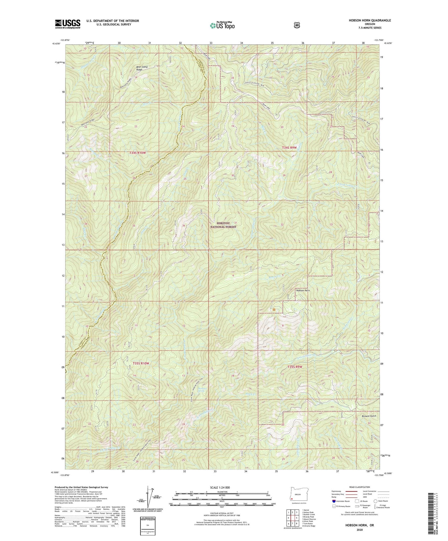
Hobson Horn Oregon US Topo Map
Couldn't load pickup availability
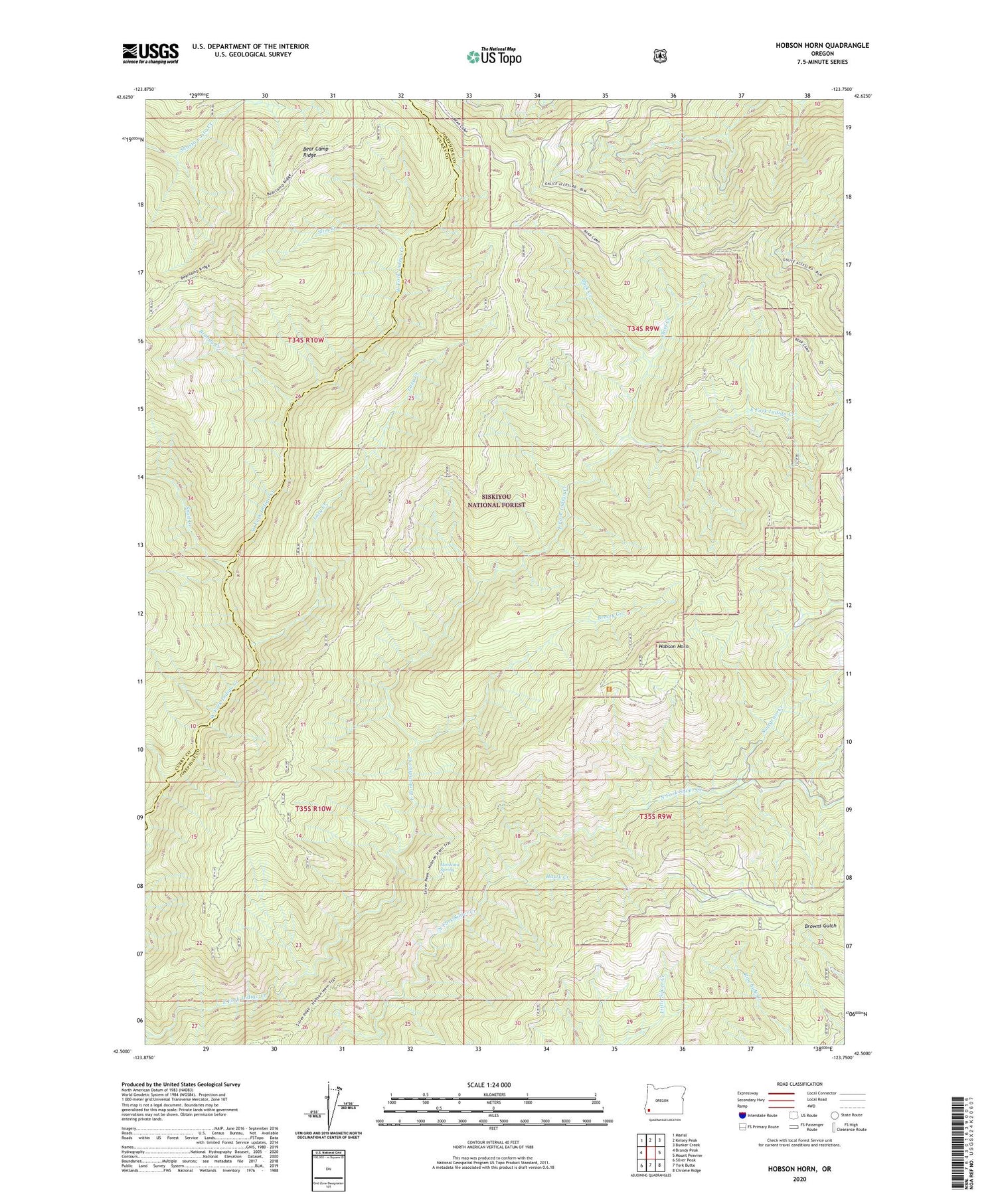
Also explore the Hobson Horn Forest Service Topo of this same quad for updated USFS data
2024 topographic map quadrangle Hobson Horn in the state of Oregon. Scale: 1:24000. Based on the newly updated USGS 7.5' US Topo map series, this map is in the following counties: Josephine, Curry. The map contains contour data, water features, and other items you are used to seeing on USGS maps, but also has updated roads and other features. This is the next generation of topographic maps. Printed on high-quality waterproof paper with UV fade-resistant inks.
Quads adjacent to this one:
West: Brandy Peak
Northwest: Marial
North: Kelsey Peak
Northeast: Bunker Creek
East: Mount Peavine
Southeast: Chrome Ridge
South: York Butte
Southwest: Silver Peak
This map covers the same area as the classic USGS quad with code o42123e7.
Contains the following named places: Bear Camp Pasture Recreation Site, Bear Camp Ridge, Brandy Creek, Breezy Creek, Buck Creek, Buck Creek Recreation Site, Camp Howard, Chief Creek, Hawk Creek, Hobson Horn, Lazy Creek, Montana Spring, Slim Creek, Snail Creek, Sourgrass Camp, Sourgrass Creek