MyTopo
Bridgeport Oregon US Topo Map
Couldn't load pickup availability
Also explore the Bridgeport Forest Service Topo of this same quad for updated USFS data
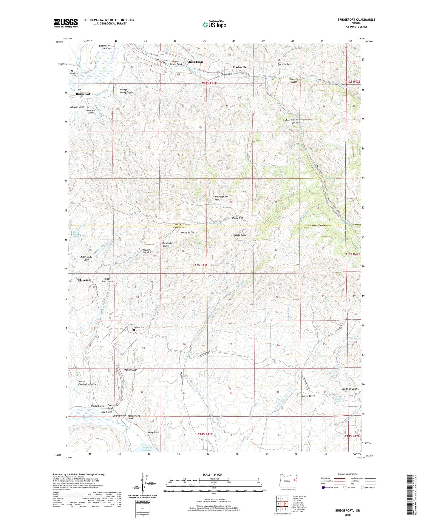
2023 topographic map quadrangle Bridgeport in the state of Oregon. Scale: 1:24000. Based on the newly updated USGS 7.5' US Topo map series, this map is in the following counties: Malheur, Baker. The map contains contour data, water features, and other items you are used to seeing on USGS maps, but also has updated roads and other features. This is the next generation of topographic maps. Printed on high-quality waterproof paper with UV fade-resistant inks.
Quads adjacent to this one:
West: Wendt Butte
Northwest: Dooley Mountain
North: French Gulch
Northeast: Lost Basin
East: Mormon Basin
Southeast: Becker Creek
South: Cow Valley East
Southwest: Cow Valley West
This map covers the same area as the classic USGS quad with code o44117d6.
Contains the following named places: Amelia Butte, Auburn Creek, August Meyer Gulch, Bill Neighbor Peak, Birch Creek Ditch, Blue Trigger Gulch, Brewery Spring, Bridgeport, Bridgeport Cemetery, Bridgeport Post Office, Brinker Creek, China Town, Clarksville, Clarksville Cemetery, Clarksville Post Office, Cottonwood Creek, Cottonwood Gulch, Deadman Gulch, East Fork First Creek, El Dorado Post Office, Eldorado, Freeze Out Gulch, French Gulch, George Henry Gulch, George Washington Gulch, Gravelly Cove, Gravelly Gulch, Greenhorn Gulch, Iron Door Mine, Iron Gulch, Jennison Gulch, Johnson Gulch, Kentucky Flat, Kentucky Gulch, Log Town Creek, Long Gulch, Lynns Ditch, Malheur Cemetery, Malheur City, Malheur Post Office, Marble Creek, Morfitt Ditch, Poison Root Gulch, Quartz Gulch, Racey Brothers Spring, Rich Creek, Sargent Place, Shasta Butte, Shasta Gap, Shasta Gulch, Shasta Spring, Towne Gulch, Tub Spring, Wendt Ditch, West Fork First Creek, Wiser Creek