MyTopo
Cow Valley East Oregon US Topo Map
Couldn't load pickup availability
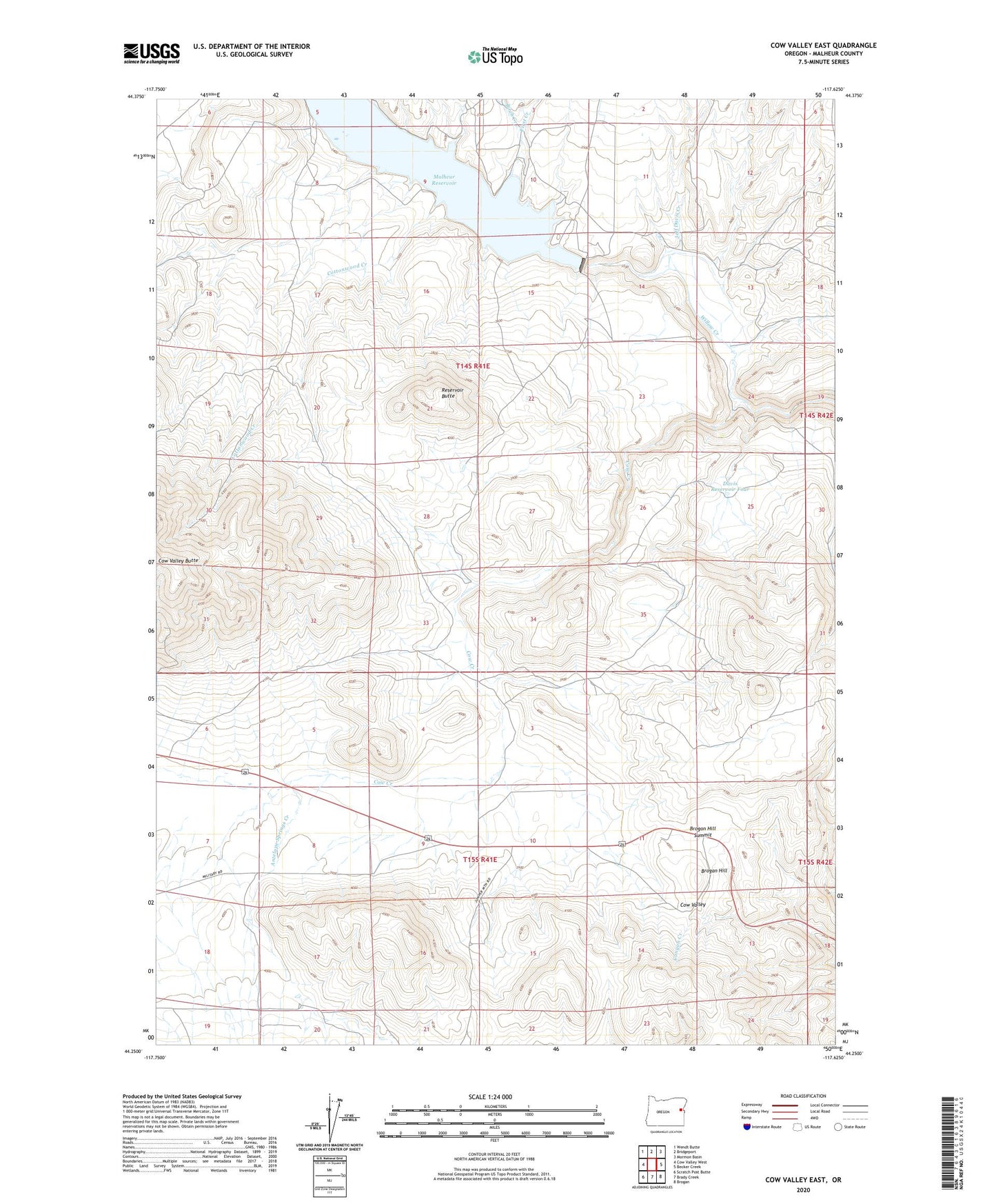
2024 topographic map quadrangle Cow Valley East in the state of Oregon. Scale: 1:24000. Based on the newly updated USGS 7.5' US Topo map series, this map is in the following counties: Malheur. The map contains contour data, water features, and other items you are used to seeing on USGS maps, but also has updated roads and other features. This is the next generation of topographic maps. Printed on high-quality waterproof paper with UV fade-resistant inks.
Quads adjacent to this one:
West: Cow Valley West
Northwest: Wendt Butte
North: Bridgeport
Northeast: Mormon Basin
East: Becker Creek
Southeast: Brogan
South: Brady Creek
Southwest: Scratch Post Butte
This map covers the same area as the classic USGS quad with code o44117c6.
Contains the following named places: Antelope Springs Creek, Beers Ditch, Birch Creek, Brogan Hill, Brogan Hill Summit, Cottonwood Creek, Cow Creek, Cow Valley, Davis Reservoir Four, First Creek, Jeff Davis Creek, Malheur Dam, Malheur Reservoir, Malheur Reservoir Boat Ramp, Reservoir Butte