MyTopo
Wendt Butte Oregon US Topo Map
Couldn't load pickup availability
Also explore the Wendt Butte Forest Service Topo of this same quad for updated USFS data
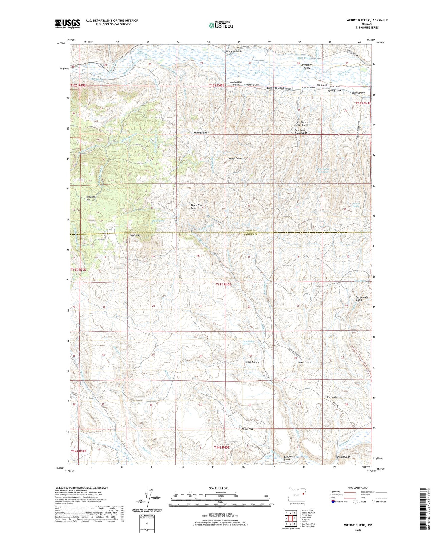
2023 topographic map quadrangle Wendt Butte in the state of Oregon. Scale: 1:24000. Based on the newly updated USGS 7.5' US Topo map series, this map is in the following counties: Malheur, Baker. The map contains contour data, water features, and other items you are used to seeing on USGS maps, but also has updated roads and other features. This is the next generation of topographic maps. Printed on high-quality waterproof paper with UV fade-resistant inks.
Quads adjacent to this one:
West: Devils Heel
Northwest: Brannan Gulch
North: Dooley Mountain
Northeast: French Gulch
East: Bridgeport
Southeast: Cow Valley East
South: Cow Valley West
Southwest: Ironside
This map covers the same area as the classic USGS quad with code o44117d7.
Contains the following named places: Alder Creek, Baldy Mountain, Cary Spring, Cave Hollow, Cave Hollow Spring, Chicken Creek, Clarks Creek Ditch, Clement Ditch, Cornet Creek, Dry Grouse Creek, Dry Gulch, East Fork Evans Gulch, East Fork Koontz Creek, Elliot Ditch, Evans Gulch, Fish Creek, Glasgow Gulch, Golden Eagle Mine, Groundhog Gulch, Indian Gulch, Koontz Creek, Little Alder Creek, Lone Pine Gulch, Lynns Ditch, Mahogany Creek, Mahogany Flat, McClellan Creek, McPherson Ditch, McPherson Gulch, Mill Creek, Mill Ditch, Miller Creek, Miller Flat, Nickols Spring, Picnic Spring, Pole Gulch, Pole Gulch Reservoir, Porter Gulch, Rattlesnake Gulch, Road Canyon, Rockaby Creek, Schofield Flat, Shasta Gap, Spring Gulch, Stack Creek, Three Pine Butte, Wendt Butte, Wendt Gulch, West Fork Evans Gulch, West Fork Koontz Creek, West Fork Stack Creek, ZIP Code: 97819