MyTopo
Bull Run Oregon US Topo Map
Couldn't load pickup availability
Also explore the Bull Run Forest Service Topo of this same quad for updated USFS data
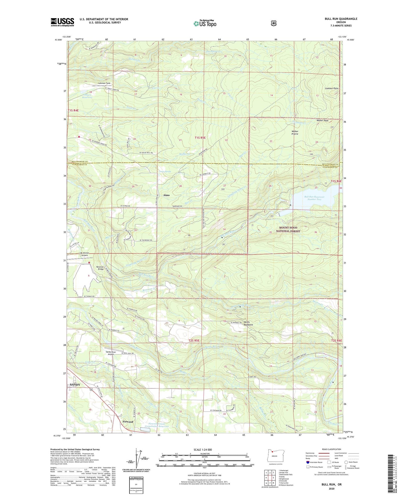
2023 topographic map quadrangle Bull Run in the state of Oregon. Scale: 1:24000. Based on the newly updated USGS 7.5' US Topo map series, this map is in the following counties: Clackamas, Multnomah. The map contains contour data, water features, and other items you are used to seeing on USGS maps, but also has updated roads and other features. This is the next generation of topographic maps. Printed on high-quality waterproof paper with UV fade-resistant inks.
Quads adjacent to this one:
West: Sandy
Northwest: Washougal
North: Bridal Veil
Northeast: Multnomah Falls
East: Brightwood
Southeast: Wildcat Mountain
South: Cherryville
Southwest: Estacada
This map covers the same area as the classic USGS quad with code o45122d2.
Contains the following named places: Aims, Aims Post Office, Badger Creek, Beaver Creek, Big Sandy Dam, Big Sandy Reservoir, Bowman Creek, Bull Run, Bull Run Dam Number 2, Bull Run Elementary School, Bull Run Reservoir Number Two, Bull Run River, Camp Howard, Camp Namanu, Camp Namanu Post Office, Cat Creek, Cliffside Cemetery, Community Worship Church, Deer Creek, Devils Backbone, Firwood, Firwood Post Office, Firwood Veneer Corporation Dam, Firwood Veneer Corporation Reservoir, Geary Spring, Kotzman Creek, Lake Roslyn Dam, Laughing Water Creek, Lehman Field, Little Sandy Diversion Dam, Little Sandy Guard Station, Little Sandy River, Little Sandy Trail, Lookout Point, Marmot Dam, Martin Creek, Mc Kinnon Airpark, Multnomah County Rural Fire Protection District 14 Station 63 Aims, Oral Hull Picnic Area, Osburn Dam, Osburn Reservoir, Revenue Bridge, Roslyn Lake, Roslyn Lake Picnic Area, Saint Michael the Archangel, Sandy River Airport, Sandy Rural Fire Protection District 72 Roslyn Lake Substation, Sievers Creek, Thompson Creek, Walker Creek, Walker Peak, Walker Prairie, Whisky Creek, ZIP Code: 97055


