MyTopo
Brightwood Oregon US Topo Map
Couldn't load pickup availability
Also explore the Brightwood Forest Service Topo of this same quad for updated USFS data
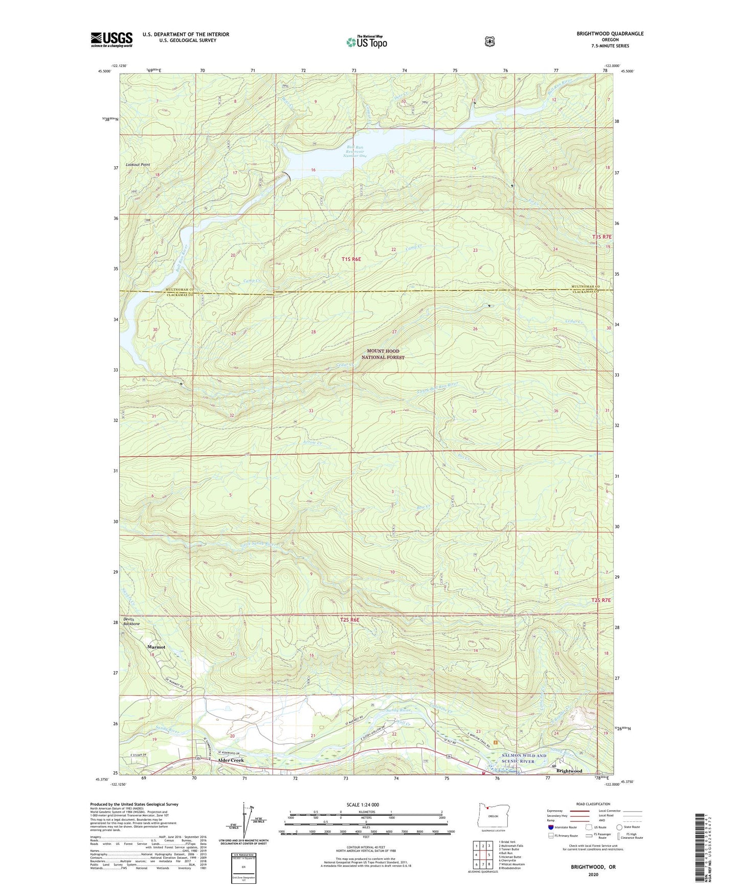
2024 topographic map quadrangle Brightwood in the state of Oregon. Scale: 1:24000. Based on the newly updated USGS 7.5' US Topo map series, this map is in the following counties: Clackamas, Multnomah. The map contains contour data, water features, and other items you are used to seeing on USGS maps, but also has updated roads and other features. This is the next generation of topographic maps. Printed on high-quality waterproof paper with UV fade-resistant inks.
Quads adjacent to this one:
West: Bull Run
Northwest: Bridal Veil
North: Multnomah Falls
Northeast: Tanner Butte
East: Hickman Butte
Southeast: Rhododendron
South: Wildcat Mountain
Southwest: Cherryville
This map covers the same area as the classic USGS quad with code o45122d1.
Contains the following named places: Alder Creek, Arrow Creek, Aschoff Buttes Trail, Bear Creek, Bow Creek, Brightwood, Brightwood Post Office, Bull Run Dam Number 1, Bull Run Reservoir Number One, Calanthe Creek, Camp Creek, Cedar Creek, Cougar Creek, Damsite Trail, Deer Creek, Fir Creek, Firwood Creek, Fox Creek, Griffis Creek Trail, Hackett Creek, Haskell, Hoodland Fire District 74 Brightwood Station, Little Joe Creek, Marmot, Marmot Post Office, North Boulder Creek, North Fork Bull Run River, Reservoir Trail, Salmon River, Sewer Trail, South Fork Bull Run River, Spring Creek, Walker Peak Lookout, Wall Creek, Wildcat Creek, ZIP Code: 97011