MyTopo
Bull Run Lake Oregon US Topo Map
Couldn't load pickup availability
Also explore the Bull Run Lake Forest Service Topo of this same quad for updated USFS data
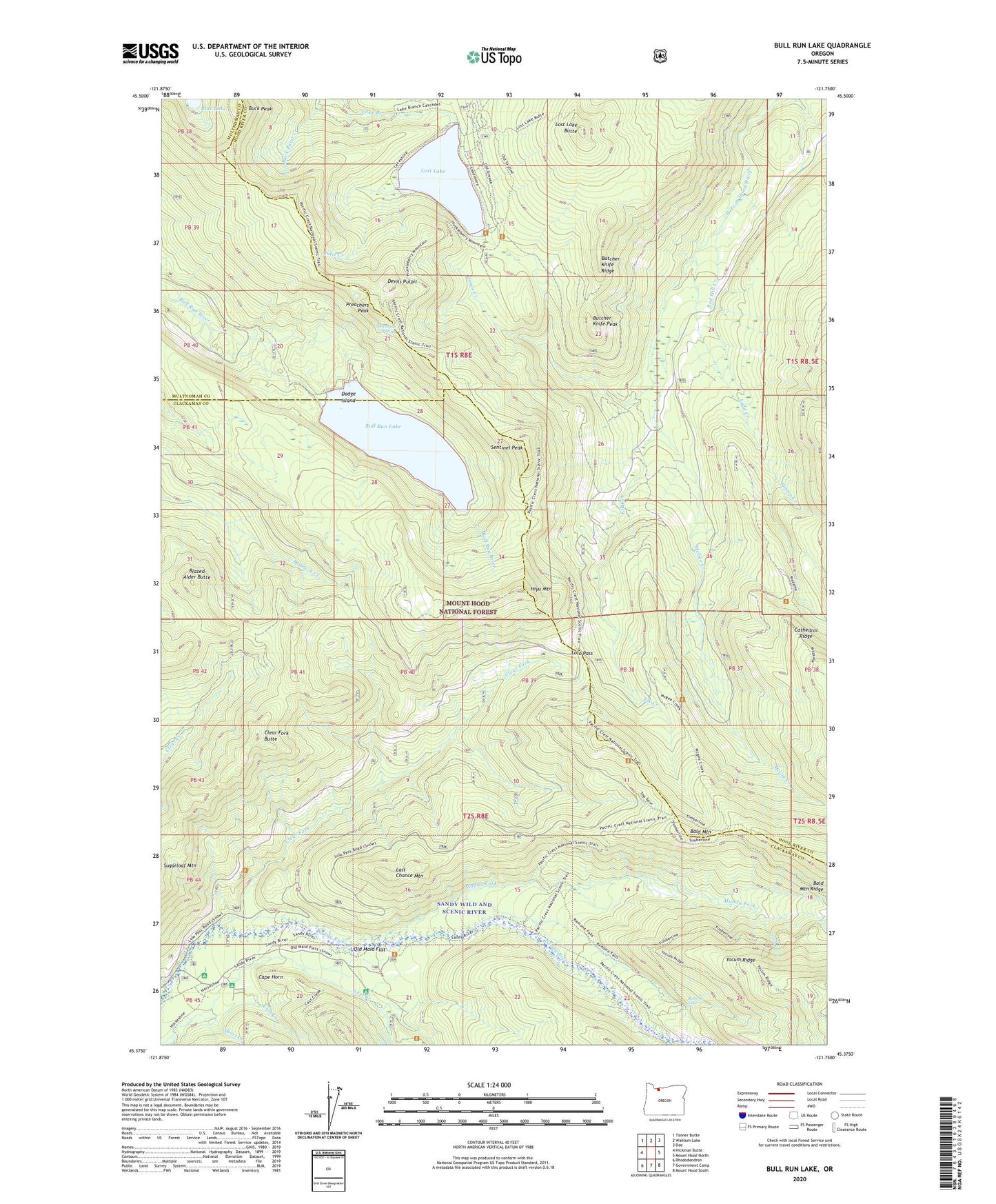
2024 topographic map quadrangle Bull Run Lake in the state of Oregon. Scale: 1:24000. Based on the newly updated USGS 7.5' US Topo map series, this map is in the following counties: Clackamas, Hood River, Multnomah. The map contains contour data, water features, and other items you are used to seeing on USGS maps, but also has updated roads and other features. This is the next generation of topographic maps. Printed on high-quality waterproof paper with UV fade-resistant inks.
Quads adjacent to this one:
West: Hickman Butte
Northwest: Tanner Butte
North: Wahtum Lake
Northeast: Dee
East: Mount Hood North
Southeast: Mount Hood South
South: Government Camp
Southwest: Rhododendron
This map covers the same area as the classic USGS quad with code o45121d7.
Contains the following named places: Bald Mountain, Bald Mountain Shelter, Blazed Alder Butte, Blazed Alder Way Trail, Blue Lake, Buck Peak, Bull Run Lake, Bull Run Lake Dam, Bull Run Lake Trail, Bull Run Research Natural Area, Butcher Knife Peak, Butcher Knife Ridge, Cape Horn, Cast Creek, Chitwood Quarry, Chitwood Trail, Clear Fork, Clear Fork Butte, Devils Pulpit, Dodge Island, Elk Creek, Hiyu Mountain, Hiyu Mountain Quarry, Huckleberry Mountain Trail, Inlet Creek, Jones Creek, Ladd Creek, Ladd Creek Campground, Last Chance Mountain, Lolo Pass, Lost Creek Recreation Site, Lost Lake, Lost Lake Boat Ramp, Lost Lake Butte, Lost Lake Butte Trail, Lost Lake Ranger Station, Lost Lake Recreation Site, Lost Lake Resort, McGee Creek, McNeil Recreation Site, Muddy Fork, Old Maid Flat, Portage Trail, Preachers Peak, Ramona Falls, Red Hill Creek, Riley Horse Camp, Rushing Water Creek, Salvation Spring, Sandy River Trail, Sandy Wild and Scenic River, Sentinel Peak, Short Creek, Stump Creek, Table Mountain Trail, Upper Sandy Guard Station


