MyTopo
Canyon Mountain Oregon US Topo Map
Couldn't load pickup availability
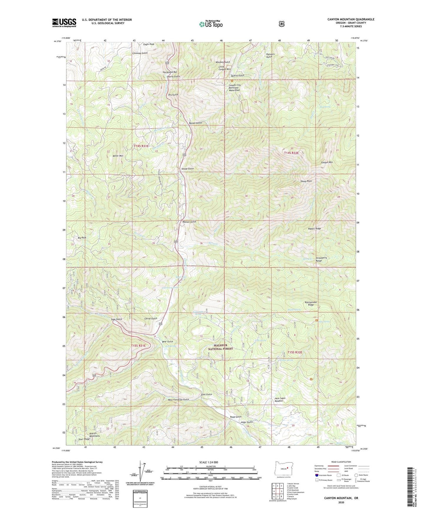
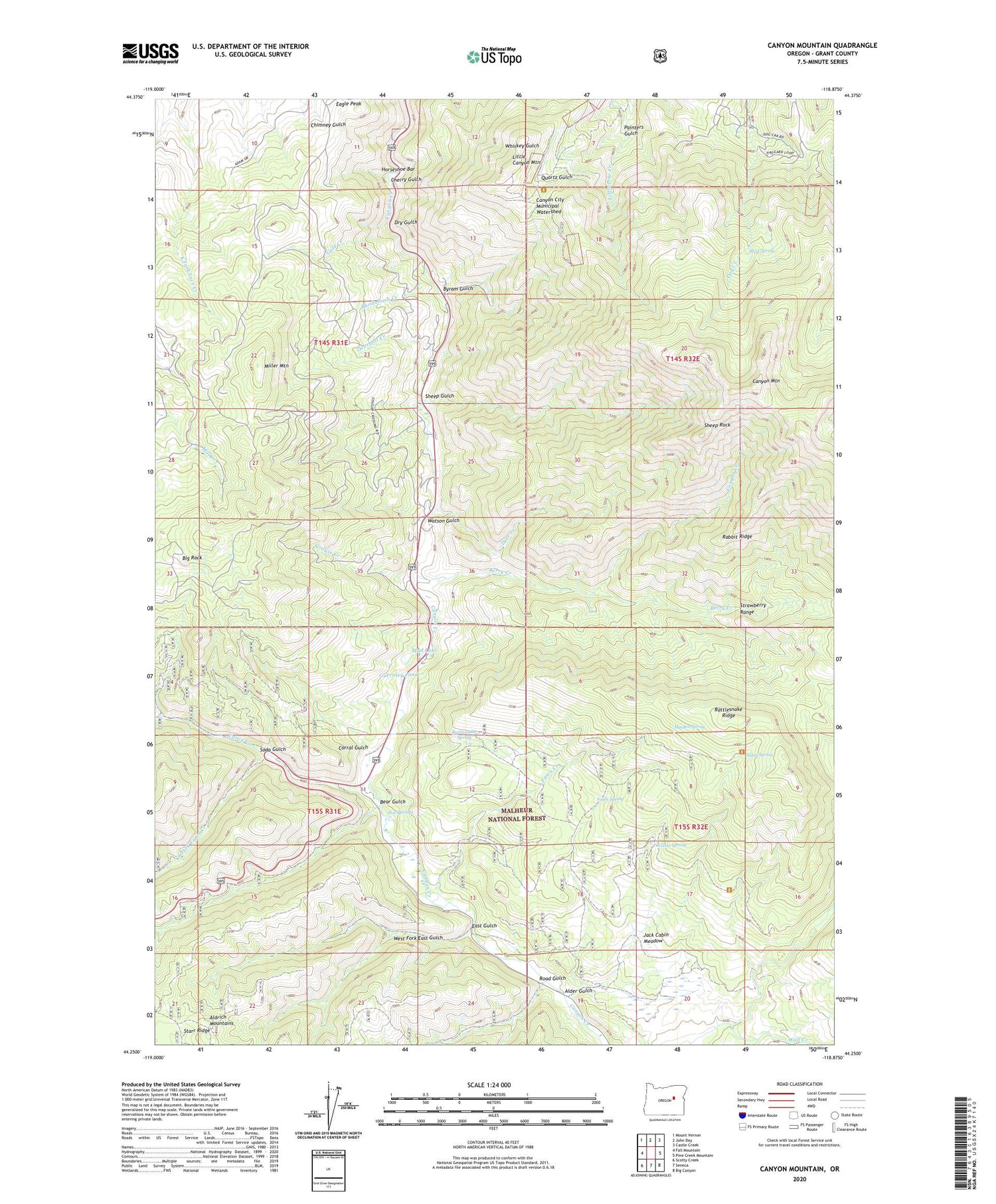
2020 topographic map quadrangle Canyon Mountain in the state of Oregon. Scale: 1:24000. Based on the newly updated USGS 7.5' US Topo map series, this map is in the following counties: Grant. The map contains contour data, water features, and other items you are used to seeing on USGS maps, but also has updated roads and other features. This is the next generation of topographic maps. Printed on high-quality waterproof paper with UV fade-resistant inks.
Quads adjacent to this one:
West: Fall Mountain
Northwest: Mount Vernon
North: John Day
Northeast: Castle Creek
East: Pine Creek Mountain
Southeast: Big Canyon
South: Seneca
Southwest: Scotty Creek
Contains the following named places: Alder Gulch, Alder Spring, Bear Gulch, Berry Creek, Big Rock, Byram Gulch, Canyon City Municipal Watershed, Canyon Mountain, Canyon Mountain Recreation Site, Canyon Mountain Trailhead, Cherry Gulch, Corral Gulch, Cougar Camp, Cougar Creek, Deer Creek, Dry Gulch, Eagle Peak, East Fork Canyon Creek Trailhead, East Gulch, Fawn Creek, Fawn Spring, Fawn Spring Trail, Gold Creek, Golden West Mine, Great Northern Mine, Grouse Creek, Guernsey Pond, Haggard Mine, Horseshoe Bar, Hot Springs, Iron King Mine, J Bar L Ranch, Jack Cabin Meadow, Joaquin Miller Recreation Site, Joaquin Miller Trail, Joaquin Miller Trailhead, Little Canyon Mountain, Maiden Spring, Miller Mountain, Miller Mountain Mine, Mosier Camp, Mud Lake, Mud Spring, New Mine, Overholt Creek, Painters Gulch, Rabbit Ridge, Rattlesnake Ridge, Rattlesnake Spring, Ray Cole Campground, Rhodabush Creek, Road Gulch, Sheep Gulch, Sheep Rock, Soda Gulch, South Fork Vance Creek, Vance Creek, Vance Creek Safety Rest Area, Wall Creek, Watson Gulch, West Fork East Gulch, Williams Ranch, Willow Spring